
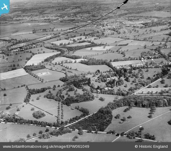
EPW061049 ENGLAND (1939). Wergs Hall and surrounding countryside, Codsall, from the west, 1939. This image has been produced from a damaged negative.
© Copyright OpenStreetMap contributors and licensed by the OpenStreetMap Foundation. 2026. Cartography is licensed as CC BY-SA.
Nearby Images (5)
EPW061049

EPW061052

EPW061050

EPW061051

EPW061047

Details
| Title | [EPW061049] Wergs Hall and surrounding countryside, Codsall, from the west, 1939. This image has been produced from a damaged negative. |
| Reference | EPW061049 |
| Date | 10-May-1939 |
| Link | |
| Place name | CODSALL |
| Parish | CODSALL |
| District | |
| Country | ENGLAND |
| Easting / Northing | 386635, 301494 |
| Longitude / Latitude | -2.1973979096584, 52.610705107579 |
| National Grid Reference | SJ866015 |
Pins

totoro |
Tuesday 28th of January 2014 06:49:09 PM | |
|
totoro |
Tuesday 28th of January 2014 06:48:13 PM | |
|
totoro |
Tuesday 28th of January 2014 06:44:50 PM | |
|
totoro |
Tuesday 28th of January 2014 06:44:20 PM | |
|
totoro |
Tuesday 28th of January 2014 06:41:43 PM | |
|
totoro |
Tuesday 28th of January 2014 06:41:14 PM | |
|
totoro |
Tuesday 28th of January 2014 06:40:32 PM | |
|
totoro |
Tuesday 28th of January 2014 06:24:06 PM | |
|
totoro |
Tuesday 28th of January 2014 06:23:23 PM | |
|
totoro |
Tuesday 28th of January 2014 06:19:15 PM | |
|
totoro |
Tuesday 28th of January 2014 06:16:05 PM |