
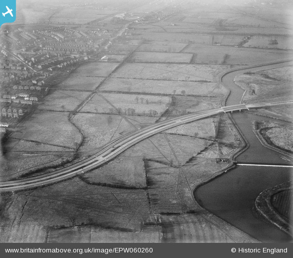
EPW060260 ENGLAND (1938). The A5111 (Raynesway) crossing fields to the south of the River Derwent, Alvaston, 1938
© Copyright OpenStreetMap contributors and licensed by the OpenStreetMap Foundation. 2026. Cartography is licensed as CC BY-SA.
Nearby Images (4)
EPW060260
 crossing fields to the south of the River Derwent, Alvaston, 1938")
EPW055797
 by the River Derwent crossing, Alvaston, 1937")
EPW060252
 crossing fields to the south of the River Derwent, Alvaston, 1938")
EPW055798
 at the River Derwent crossing, Alvaston, 1937")
Details
| Title | [EPW060260] The A5111 (Raynesway) crossing fields to the south of the River Derwent, Alvaston, 1938 |
| Reference | EPW060260 |
| Date | 1-December-1938 |
| Link | |
| Place name | ALVASTON |
| Parish | |
| District | |
| Country | ENGLAND |
| Easting / Northing | 438437, 334062 |
| Longitude / Latitude | -1.4284884658778, 52.902300312254 |
| National Grid Reference | SK384341 |
Pins

Peter Kazmierczak |
Monday 16th of September 2013 08:30:52 PM | |
|
Peter Kazmierczak |
Monday 16th of September 2013 08:29:42 PM | |
|
Peter Kazmierczak |
Monday 16th of September 2013 08:28:53 PM |