
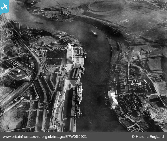
EPW059921 ENGLAND (1938). The Tyne Flour Mill, the River Tyne and the Quayside, Newcastle Upon Tyne, 1938. This image has been produced from a damaged negative.
© Copyright OpenStreetMap contributors and licensed by the OpenStreetMap Foundation. 2026. Cartography is licensed as CC BY-SA.
Nearby Images (13)
EPW059921

EPW059919

EAW037003
 moored on the River Tyne opposite the South Shore Road Engineering Works, Byker, 1951. This image has been produced from a print.")
EPW062213

EPW062212

EAW037005
 moored on the River Tyne near the Tyne Mill, Byker, 1951. This image has been produced from a print.")
EAW037007
 moored on the River Tyne and the area around St Lawrence Park, Byker, 1951. This image has been produced from a print.")
EAW037006
 moored on the River Tyne, Byker, 1951. This image has been produced from a print.")
EPW059920

EAW037004
 moored on the River Tyne near the Tyne Mill, Byker, 1951. This image has been produced from a print.")
EPW059924

EPW059923

EPW059922

Details
| Title | [EPW059921] The Tyne Flour Mill, the River Tyne and the Quayside, Newcastle Upon Tyne, 1938. This image has been produced from a damaged negative. |
| Reference | EPW059921 |
| Date | 11-October-1938 |
| Link | |
| Place name | NEWCASTLE UPON TYNE |
| Parish | |
| District | |
| Country | ENGLAND |
| Easting / Northing | 426814, 563705 |
| Longitude / Latitude | -1.5811252775894, 54.96717075109 |
| National Grid Reference | NZ268637 |
Pins

Dylan Moore |
Tuesday 27th of May 2014 10:02:26 PM | |

southallboy |
Thursday 12th of September 2013 06:07:10 PM | |
|
southallboy |
Thursday 12th of September 2013 06:03:47 PM | |
|
southallboy |
Thursday 12th of September 2013 06:00:38 PM |
User Comment Contributions
Mum and Dad lived in Byker |
southallboy |
Sunday 20th of October 2013 01:46:12 PM |