
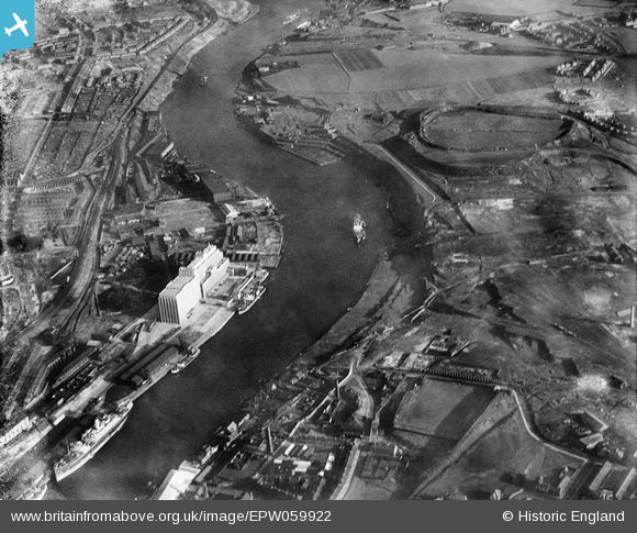
EPW059922 ENGLAND (1938). The Tyne Flour Mill, the River Tyne and the Quayside, Newcastle Upon Tyne, 1938. This image has been produced from a damaged negative.
© Copyright OpenStreetMap contributors and licensed by the OpenStreetMap Foundation. 2026. Cartography is licensed as CC BY-SA.
Nearby Images (7)
EPW059922

EPW059923

EPW062212

EPW062213

EPW059920

EPW059921

EPW059919

Details
| Title | [EPW059922] The Tyne Flour Mill, the River Tyne and the Quayside, Newcastle Upon Tyne, 1938. This image has been produced from a damaged negative. |
| Reference | EPW059922 |
| Date | 11-October-1938 |
| Link | |
| Place name | NEWCASTLE UPON TYNE |
| Parish | |
| District | |
| Country | ENGLAND |
| Easting / Northing | 426993, 563477 |
| Longitude / Latitude | -1.578350576145, 54.965112047012 |
| National Grid Reference | NZ270635 |
Pins
Be the first to add a comment to this image!