
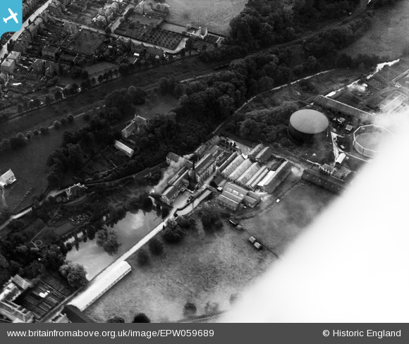
EPW059689 ENGLAND (1938). Fromehall Woollen Mills, Stroud, 1938
© Copyright OpenStreetMap contributors and licensed by the OpenStreetMap Foundation. 2026. Cartography is licensed as CC BY-SA.
Nearby Images (10)
EPW059689

EPW059688

EPW059693

EPW059696

EPW059695

EPW058652

EPW058651

EPW058650

EPW058649

EPW041883

Details
| Title | [EPW059689] Fromehall Woollen Mills, Stroud, 1938 |
| Reference | EPW059689 |
| Date | 29-September-1938 |
| Link | |
| Place name | STROUD |
| Parish | STROUD |
| District | |
| Country | ENGLAND |
| Easting / Northing | 384155, 204906 |
| Longitude / Latitude | -2.2295127577167, 51.74217730326 |
| National Grid Reference | SO842049 |
Pins
Be the first to add a comment to this image!