
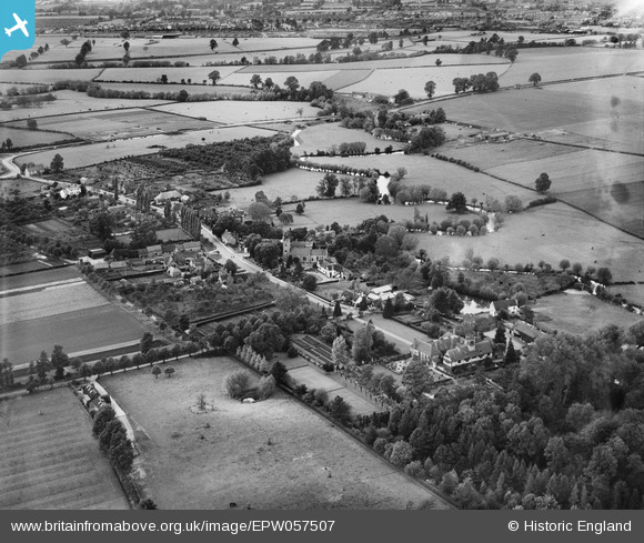
EPW057507 ENGLAND (1938). St Helen's Church and the village, Clifford Chambers, from the south, 1938
© Copyright OpenStreetMap contributors and licensed by the OpenStreetMap Foundation. 2025. Cartography is licensed as CC BY-SA.
Nearby Images (7)
EPW057507

EPW057506

EPW057505

EPW057509

EPW057508

EPW057510

EPW057504

Details
| Title | [EPW057507] St Helen's Church and the village, Clifford Chambers, from the south, 1938 |
| Reference | EPW057507 |
| Date | 9-June-1938 |
| Link | |
| Place name | CLIFFORD CHAMBERS |
| Parish | CLIFFORD CHAMBERS AND MILCOTE |
| District | |
| Country | ENGLAND |
| Easting / Northing | 419864, 252034 |
| Longitude / Latitude | -1.7095480528635, 52.165809884678 |
| National Grid Reference | SP199520 |
Pins

totoro |
Thursday 1st of August 2013 09:51:46 PM | |
|
totoro |
Thursday 1st of August 2013 09:49:23 PM | |
|
totoro |
Thursday 1st of August 2013 09:48:21 PM | |
|
totoro |
Thursday 1st of August 2013 09:48:03 PM | |
|
totoro |
Thursday 1st of August 2013 09:46:35 PM | |
|
totoro |
Thursday 1st of August 2013 09:45:41 PM | |
|
totoro |
Thursday 1st of August 2013 09:45:20 PM | |
|
totoro |
Thursday 1st of August 2013 09:44:34 PM | |
|
totoro |
Thursday 1st of August 2013 09:43:41 PM |