
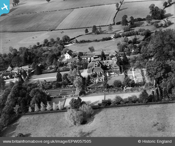
EPW057505 ENGLAND (1938). Clifford Manor, Clifford Chambers, 1938
© Copyright OpenStreetMap contributors and licensed by the OpenStreetMap Foundation. 2025. Cartography is licensed as CC BY-SA.
Nearby Images (7)
EPW057505

EPW057506

EPW057508

EPW057509

EPW057510

EPW057504

EPW057507

Details
| Title | [EPW057505] Clifford Manor, Clifford Chambers, 1938 |
| Reference | EPW057505 |
| Date | 9-June-1938 |
| Link | |
| Place name | CLIFFORD CHAMBERS |
| Parish | CLIFFORD CHAMBERS AND MILCOTE |
| District | |
| Country | ENGLAND |
| Easting / Northing | 419941, 251965 |
| Longitude / Latitude | -1.7084262275213, 52.165186702778 |
| National Grid Reference | SP199520 |
