
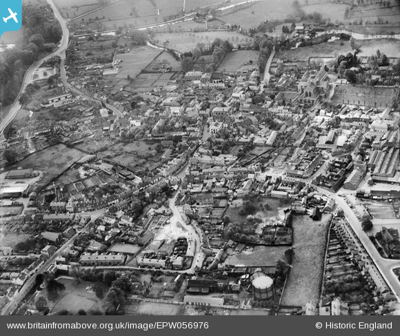
EPW056976 ENGLAND (1938). The town centre, Romsey, 1938
© Copyright OpenStreetMap contributors and licensed by the OpenStreetMap Foundation. 2026. Cartography is licensed as CC BY-SA.
Nearby Images (22)
EPW056976

EPW032328

EPW013638

EPW013641

EPW032325

EAW034105

EPW013635

EPW032327

EPW013640

EAW034102

EAW034106

EAW034099

EAW034103

EAW034100

EAW034104

EAW034101

EPW013639

EPW013636

EAW034098

EPW032326

EPW033733

EAW034097

Details
| Title | [EPW056976] The town centre, Romsey, 1938 |
| Reference | EPW056976 |
| Date | 26-April-1938 |
| Link | |
| Place name | ROMSEY |
| Parish | ROMSEY |
| District | |
| Country | ENGLAND |
| Easting / Northing | 435297, 121184 |
| Longitude / Latitude | -1.4970513829374, 50.988430844602 |
| National Grid Reference | SU353212 |
Pins

stuartromsey |
Wednesday 15th of August 2018 11:57:21 AM | |

Class31 |
Saturday 31st of January 2015 08:17:27 PM | |
|
Class31 |
Saturday 31st of January 2015 08:15:32 PM | |
|
Class31 |
Saturday 31st of January 2015 08:13:46 PM | |
|
Class31 |
Saturday 31st of January 2015 08:12:48 PM | |
|
Class31 |
Saturday 31st of January 2015 08:12:09 PM | |
|
David960 |
Saturday 31st of January 2015 07:04:07 PM | |
|
JohnParker |
Tuesday 27th of August 2013 12:08:34 AM | |
The Old House is further down just before Linden Road |
ecuk268 |
Monday 12th of December 2016 04:15:36 PM |


User Comment Contributions
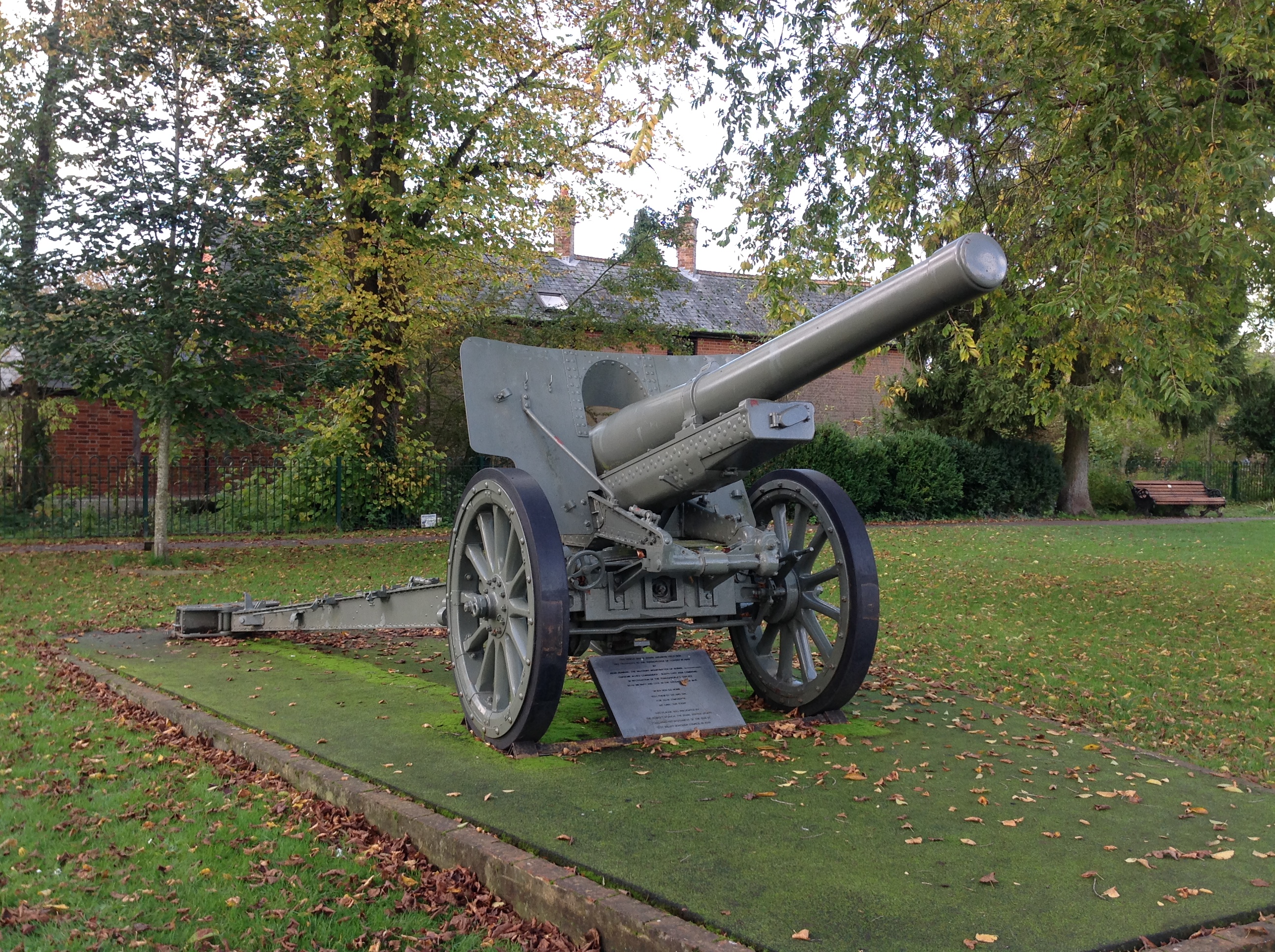
Romsey War Memorial Park, 19/10/2014 |
Class31 |
Saturday 31st of January 2015 08:17:59 PM |

Pembroke House [bottom centre] |
HATTATT |
Monday 19th of May 2014 12:51:18 PM |
Great photo |

Christopher |
Friday 23rd of August 2013 12:55:49 PM |