
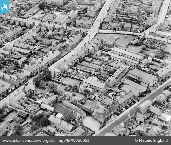
EPW056951 ENGLAND (1938). Church Street and environs, Fenny Stratford, 1938
© Copyright OpenStreetMap contributors and licensed by the OpenStreetMap Foundation. 2026. Cartography is licensed as CC BY-SA.
Nearby Images (6)
EPW056951

EPW022466

EPW056954

EPW056952

EPW056955

EPW022464

Details
| Title | [EPW056951] Church Street and environs, Fenny Stratford, 1938 |
| Reference | EPW056951 |
| Date | 26-April-1938 |
| Link | |
| Place name | FENNY STRATFORD |
| Parish | BLETCHLEY AND FENNY STRATFORD |
| District | |
| Country | ENGLAND |
| Easting / Northing | 488096, 234123 |
| Longitude / Latitude | -0.71665161655699, 51.998127624205 |
| National Grid Reference | SP881341 |
Pins
Be the first to add a comment to this image!