
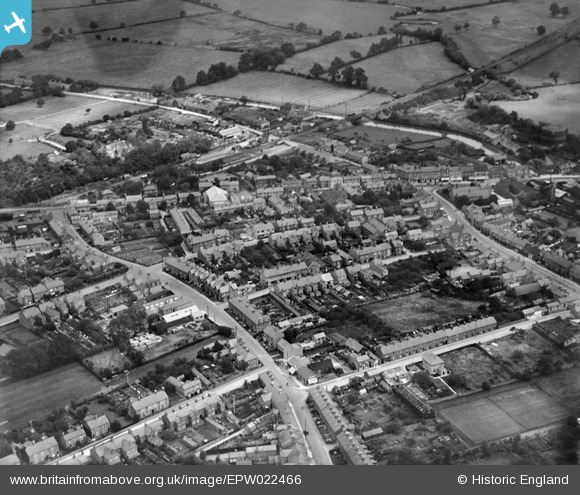
EPW022466 ENGLAND (1928). Victoria Road and environs, Fenny Stratford, 1928
© Copyright OpenStreetMap contributors and licensed by the OpenStreetMap Foundation. 2026. Cartography is licensed as CC BY-SA.
Nearby Images (6)
EPW022466

EPW056951

EPW056952

EPW056954

EPW056955

EPW022464

Details
| Title | [EPW022466] Victoria Road and environs, Fenny Stratford, 1928 |
| Reference | EPW022466 |
| Date | 9-August-1928 |
| Link | |
| Place name | FENNY STRATFORD |
| Parish | BLETCHLEY AND FENNY STRATFORD |
| District | |
| Country | ENGLAND |
| Easting / Northing | 488091, 234090 |
| Longitude / Latitude | -0.71673291830482, 51.997831764591 |
| National Grid Reference | SP881341 |
Pins

Class31 |
Wednesday 24th of October 2012 11:27:29 PM | |
|
Class31 |
Wednesday 24th of October 2012 11:27:09 PM | |
|
Class31 |
Wednesday 24th of October 2012 11:26:28 PM | |
|
Class31 |
Wednesday 24th of October 2012 11:25:45 PM | |
|
Class31 |
Wednesday 24th of October 2012 11:25:20 PM | |
|
Class31 |
Wednesday 24th of October 2012 11:24:48 PM | |
|
Class31 |
Wednesday 24th of October 2012 11:24:25 PM | |
|
Class31 |
Wednesday 24th of October 2012 11:23:57 PM | |
|
Class31 |
Wednesday 24th of October 2012 11:23:39 PM | |
|
Class31 |
Wednesday 24th of October 2012 11:23:07 PM | |
|
Class31 |
Wednesday 24th of October 2012 11:22:49 PM |