
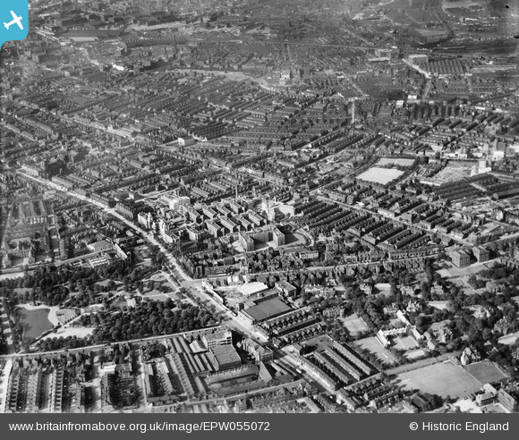
EPW055072 ENGLAND (1937). Manchester Royal Infirmary, Whitworth Park and the city, Manchester, 1937
© Copyright OpenStreetMap contributors and licensed by the OpenStreetMap Foundation. 2026. Cartography is licensed as CC BY-SA.
Nearby Images (17)
EPW055072

EPW017522

EPW017615

EPW019134

EPW016726

EPW016725

EPW060431

EPW060423

EPW060426

EPW060433

EPW060432

EPW060430

EPW060424

EPW060427

EPW060429

EPW060425

EPW060428

Details
| Title | [EPW055072] Manchester Royal Infirmary, Whitworth Park and the city, Manchester, 1937 |
| Reference | EPW055072 |
| Date | August-1937 |
| Link | |
| Place name | MANCHESTER |
| Parish | |
| District | |
| Country | ENGLAND |
| Easting / Northing | 385144, 396136 |
| Longitude / Latitude | -2.2237816905684, 53.461507028671 |
| National Grid Reference | SJ851961 |
Pins

denmar |
Wednesday 13th of August 2025 01:43:12 PM | |
|
JJH |
Tuesday 5th of March 2024 07:16:03 PM | |
|
JJH |
Friday 26th of August 2016 03:13:17 PM | |
|
JJH |
Friday 26th of August 2016 03:12:06 PM | |
|
JJH |
Friday 26th of August 2016 03:11:40 PM | |
|
JJH |
Thursday 25th of August 2016 11:00:57 PM | |
|
JJH |
Thursday 25th of August 2016 11:00:22 PM | |
|
JJH |
Thursday 25th of August 2016 11:00:00 PM |