
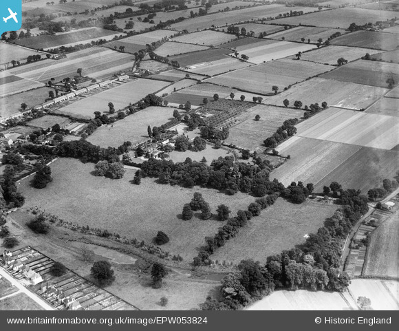
EPW053824 ENGLAND (1937). Harwood Hall and the surrounding countryside, Upminster, 1937
© Copyright OpenStreetMap contributors and licensed by the OpenStreetMap Foundation. 2026. Cartography is licensed as CC BY-SA.
Nearby Images (10)
EPW053824

EPW053822

EPW053815

EPW053818

EPW053820

EPW053821

EPW053816

EPW053817

EPW053819

EPW053823

Details
| Title | [EPW053824] Harwood Hall and the surrounding countryside, Upminster, 1937 |
| Reference | EPW053824 |
| Date | 26-June-1937 |
| Link | |
| Place name | UPMINSTER |
| Parish | |
| District | |
| Country | ENGLAND |
| Easting / Northing | 555980, 184816 |
| Longitude / Latitude | 0.24946250295769, 51.540181192956 |
| National Grid Reference | TQ560848 |
