
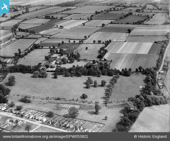
EPW053821 ENGLAND (1937). Harwood Hall and the surrounding countryside, Upminster, 1937
© Copyright OpenStreetMap contributors and licensed by the OpenStreetMap Foundation. 2026. Cartography is licensed as CC BY-SA.
Nearby Images (10)
EPW053821

EPW053822

EPW053824

EPW053815

EPW053820

EPW053818

EPW053819

EPW053823

EPW053816

EPW053817

Details
| Title | [EPW053821] Harwood Hall and the surrounding countryside, Upminster, 1937 |
| Reference | EPW053821 |
| Date | 26-June-1937 |
| Link | |
| Place name | UPMINSTER |
| Parish | |
| District | |
| Country | ENGLAND |
| Easting / Northing | 555893, 184816 |
| Longitude / Latitude | 0.2482088737589, 51.540205231464 |
| National Grid Reference | TQ559848 |
Pins
Be the first to add a comment to this image!