
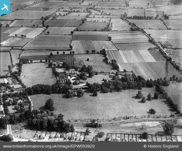
EPW053820 ENGLAND (1937). Harwood Hall and the surrounding countryside, Upminster, 1937
© Copyright OpenStreetMap contributors and licensed by the OpenStreetMap Foundation. 2026. Cartography is licensed as CC BY-SA.
Nearby Images (10)
EPW053820

EPW053819

EPW053823

EPW053818

EPW053824

EPW053817

EPW053816

EPW053822

EPW053815

EPW053821

Details
| Title | [EPW053820] Harwood Hall and the surrounding countryside, Upminster, 1937 |
| Reference | EPW053820 |
| Date | 26-June-1937 |
| Link | |
| Place name | UPMINSTER |
| Parish | |
| District | |
| Country | ENGLAND |
| Easting / Northing | 556023, 184747 |
| Longitude / Latitude | 0.25005152234427, 51.539549307024 |
| National Grid Reference | TQ560847 |
Pins
Be the first to add a comment to this image!