
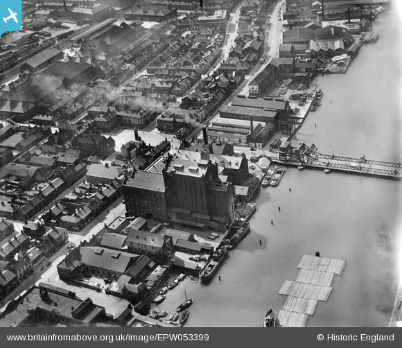
EPW053399 ENGLAND (1937). Victoria Flour Mills, Corporation Bridge and environs, Grimsby, 1937
© Copyright OpenStreetMap contributors and licensed by the OpenStreetMap Foundation. 2026. Cartography is licensed as CC BY-SA.
Nearby Images (14)
EPW053399

EPW053404

EPW053403

EPW053400

EPW042806

EPW053401

EPW053406

EPW053402

EPW053405

EPW053398

EPW012659

EAW029028

EAW029027

EAW029026

Details
| Title | [EPW053399] Victoria Flour Mills, Corporation Bridge and environs, Grimsby, 1937 |
| Reference | EPW053399 |
| Date | 31-May-1937 |
| Link | |
| Place name | GRIMSBY |
| Parish | |
| District | |
| Country | ENGLAND |
| Easting / Northing | 527117, 410019 |
| Longitude / Latitude | -0.080135321502721, 53.571110541067 |
| National Grid Reference | TA271100 |
Pins
Be the first to add a comment to this image!
User Comment Contributions
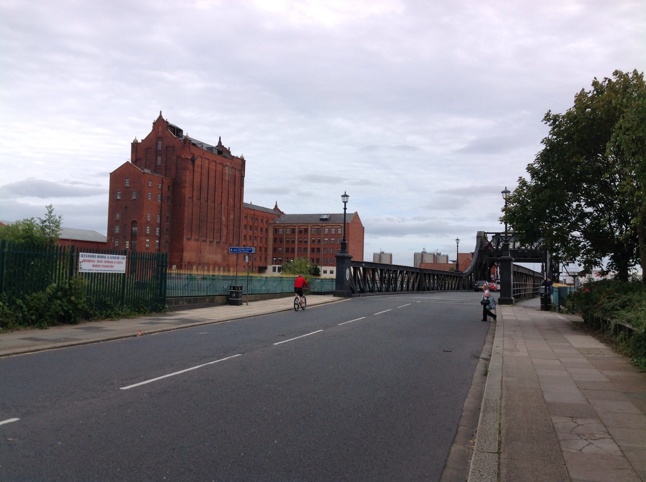
Victoria Flour Mills, 29/08/2014 |

Class31 |
Friday 29th of August 2014 09:16:50 PM |