
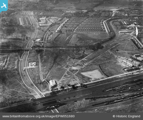
EPW051680 ENGLAND (1936). Brent Junction, construction of Beresford Avenue and environs, Alperton, 1936
© Copyright OpenStreetMap contributors and licensed by the OpenStreetMap Foundation. 2026. Cartography is licensed as CC BY-SA.
Nearby Images (48)
EPW051680

EPW056464

EPW056463

EPW056415
, Alperton, 1938")
EPW056465

EPW053019

EPW051675

EPW056086

EPW051676

EPW056762

EPW056461

EPW056460

EPW051673

EPW056088

EPW056417
, Alperton, 1938")
EPW056418
, Alperton, 1938. This image has been affected by flare.")
EPW056416
, Alperton, 1938")
EPW053021

EAW026667

EPW056757

EPW056466

EPW056759

EPW056420
, Alperton, 1938")
EPW051674

EPW056462

EPW051678

EPW053020

EPW056761

EAW026662

EPW056419
, Alperton, 1938")
EAW026664

EPW056414
, Alperton, 1938")
EAW026665

EAW026663

EAW017045

EAW017038

EPW056760

EAW026668

EPW053018

EAW017037

EAW026666

EAW017044

EAW017040

EAW017043

EPW056763

EAW017041

EAW017042

EPW056758

Details
| Title | [EPW051680] Brent Junction, construction of Beresford Avenue and environs, Alperton, 1936 |
| Reference | EPW051680 |
| Date | August-1936 |
| Link | |
| Place name | ALPERTON |
| Parish | |
| District | |
| Country | ENGLAND |
| Easting / Northing | 519211, 183786 |
| Longitude / Latitude | -0.28085336365522, 51.539889460319 |
| National Grid Reference | TQ192838 |
Pins

The Laird |
Wednesday 2nd of February 2022 02:51:26 PM | |
|
The Laird |
Wednesday 2nd of February 2022 02:49:04 PM | |
|
The Laird |
Friday 3rd of February 2017 08:39:22 PM | |
|
Rudgey |
Monday 3rd of October 2016 08:38:22 PM | |
|
bondi |
Wednesday 21st of October 2015 09:55:35 PM | |
|
Harrow&Wembley |
Friday 3rd of May 2013 03:40:16 PM | |
|
Harrow&Wembley |
Friday 3rd of May 2013 03:33:38 PM | |
|
Harrow&Wembley |
Friday 3rd of May 2013 03:31:15 PM |