
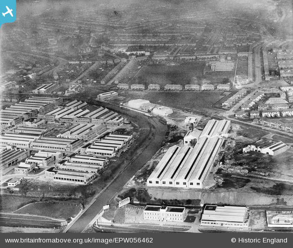
EPW056462 ENGLAND (1938). The Celotex Ltd factory, the Grand Union Canal and environs at Stonebridge Park, Alperton, 1938
© Copyright OpenStreetMap contributors and licensed by the OpenStreetMap Foundation. 2026. Cartography is licensed as CC BY-SA.
Nearby Images (43)
EPW056462

EPW056414
, Alperton, 1938")
EPW056420
, Alperton, 1938")
EAW026663

EPW056419
, Alperton, 1938")
EPW056416
, Alperton, 1938")
EAW026665

EPW056466

EPW056417
, Alperton, 1938")
EPW056418
, Alperton, 1938. This image has been affected by flare.")
EAW026662

EAW026668

EAW026664

EPW056465

EAW026666

EPW056461

EPW056463

EPW056415
, Alperton, 1938")
EPW056460

EPW056464

EPW056757

EPW051673

EPW056762

EAW026667

EPW053020

EPW056759

EPW056760

EPW056761

EPW051680

EPW056763

EPW056758

EAW017043

EAW017038

EAW017037

EAW017044

EAW017040

EAW017045

EPW056086

EPW053021

EAW017042

EPW056088

EPW051674

EPW051678

Details
| Title | [EPW056462] The Celotex Ltd factory, the Grand Union Canal and environs at Stonebridge Park, Alperton, 1938 |
| Reference | EPW056462 |
| Date | 9-March-1938 |
| Link | |
| Place name | ALPERTON |
| Parish | |
| District | |
| Country | ENGLAND |
| Easting / Northing | 519034, 183820 |
| Longitude / Latitude | -0.28339315330057, 51.540232428877 |
| National Grid Reference | TQ190838 |
Pins
Be the first to add a comment to this image!