
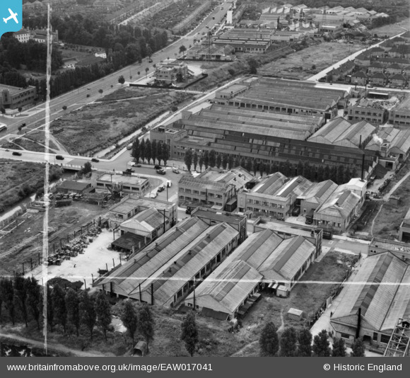
EAW017041 ENGLAND (1948). The Scottish Dyeing & Cleaning Works on Abbeydale Road and surrounding businesses, Alperton, 1948. This image was marked by Aerofilms Ltd for photo editing.
© Copyright OpenStreetMap contributors and licensed by the OpenStreetMap Foundation. 2026. Cartography is licensed as CC BY-SA.
Nearby Images (39)
EAW017041

EAW017040

EAW017044

EAW017037

EAW017042

EAW017038

EAW017045

EAW017043

EPW056763

EPW056761

EPW056760

EPW056758

EPW056759

EAW026667

EPW056757

EPW056088

EPW056762

EPW056460

EPW056461

EAW026664

EPW056086

EPW052478

EAW026668

EAW026666

EPW056415
, Alperton, 1938")
EAW026662

EPW056418
, Alperton, 1938. This image has been affected by flare.")
EPW056466

EPW056463

EPW056416
, Alperton, 1938")
EPW056464

EPW056417
, Alperton, 1938")
EPW056420
, Alperton, 1938")
EPW056465

EAW026665

EPW056419
, Alperton, 1938")
EPW051680

EAW026663

EPW053019

Details
| Title | [EAW017041] The Scottish Dyeing & Cleaning Works on Abbeydale Road and surrounding businesses, Alperton, 1948. This image was marked by Aerofilms Ltd for photo editing. |
| Reference | EAW017041 |
| Date | 6-July-1948 |
| Link | |
| Place name | ALPERTON |
| Parish | |
| District | |
| Country | ENGLAND |
| Easting / Northing | 519076, 183570 |
| Longitude / Latitude | -0.28287234800689, 51.537976466895 |
| National Grid Reference | TQ191836 |
Pins
Be the first to add a comment to this image!