
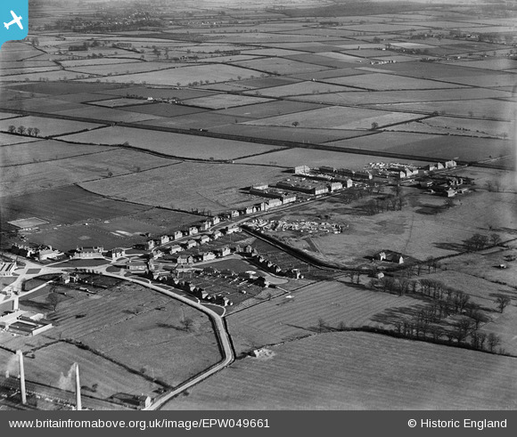
EPW049661 ENGLAND (1936). The village, Stewartby, 1936
© Copyright OpenStreetMap contributors and licensed by the OpenStreetMap Foundation. 2026. Cartography is licensed as CC BY-SA.
Nearby Images (20)
EPW049661

EPW049651

EPW049660

EPW054967A

EAW045821

EPW054979

EPW049657

EPW054968A

EPW049654

EPW049650

EPW049659

EPW054970

EPW049655

EPW049658

EPW049656

EAW011277

EAW045604

EAW045603

EAW045822

EAW045602

Details
| Title | [EPW049661] The village, Stewartby, 1936 |
| Reference | EPW049661 |
| Date | February-1936 |
| Link | |
| Place name | STEWARTBY |
| Parish | STEWARTBY |
| District | |
| Country | ENGLAND |
| Easting / Northing | 502201, 242251 |
| Longitude / Latitude | -0.50881629452625, 52.06876996949 |
| National Grid Reference | TL022423 |
Pins
Be the first to add a comment to this image!