
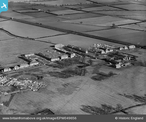
EPW049656 ENGLAND (1936). Stewartby Way at Rousbury Manor Farm, Stewartby, 1936
© Copyright OpenStreetMap contributors and licensed by the OpenStreetMap Foundation. 2026. Cartography is licensed as CC BY-SA.
Nearby Images (15)
EPW049656

EPW049660

EPW049655

EPW049650

EPW049651

EPW049661

EPW054967A

EPW054970

EPW054979

EPW054968A

EAW045821

EAW011284

EPW049657

EPW049654

EAW045605

Details
| Title | [EPW049656] Stewartby Way at Rousbury Manor Farm, Stewartby, 1936 |
| Reference | EPW049656 |
| Date | February-1936 |
| Link | |
| Place name | STEWARTBY |
| Parish | STEWARTBY |
| District | |
| Country | ENGLAND |
| Easting / Northing | 502354, 242120 |
| Longitude / Latitude | -0.50662402667589, 52.067564206848 |
| National Grid Reference | TL024421 |
Pins
Be the first to add a comment to this image!