
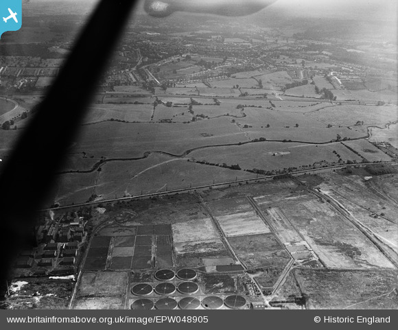
EPW048905 ENGLAND (1935). The Enfield Council Sewage Farm alongside the site of the William Girling Reservoir, Ponders End, 1935
© Copyright OpenStreetMap contributors and licensed by the OpenStreetMap Foundation. 2026. Cartography is licensed as CC BY-SA.
Nearby Images (16)
EPW048905

EPW049694

EPW049695

EPW052277

EPW050866

EPW056331

EPW056811

EPW052278

EPW058464
 Reservoir under construction, Edmonton, 1938")
EPW050867

EPW049729

EPW052266

EPW060220
 Reservoir under construction, Edmonton, 1938")
EPW048907

EPW053845
 Reservoir under construction, Edmonton, 1937")
EPW050861

Details
| Title | [EPW048905] The Enfield Council Sewage Farm alongside the site of the William Girling Reservoir, Ponders End, 1935 |
| Reference | EPW048905 |
| Date | August-1935 |
| Link | |
| Place name | PONDERS END |
| Parish | |
| District | |
| Country | ENGLAND |
| Easting / Northing | 536603, 194696 |
| Longitude / Latitude | -0.025946015925773, 51.633996491593 |
| National Grid Reference | TQ366947 |
Pins
Be the first to add a comment to this image!