
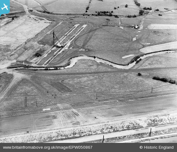
EPW050867 ENGLAND (1936). The site of the northern end of the William Girling Reservoir showing preliminary construction works, Ponders End, 1936
© Copyright OpenStreetMap contributors and licensed by the OpenStreetMap Foundation. 2026. Cartography is licensed as CC BY-SA.
Nearby Images (22)
EPW050867

EPW049695

EPW049694

EPW053845
 Reservoir under construction, Edmonton, 1937")
EPW049719

EPW049729

EPW048907

EPW052266

EPW060224
 Reservoir under construction, Edmonton, from the north, 1938")
EPW060220
 Reservoir under construction, Edmonton, 1938")
EPW048905

EPW052278

EPW055975

EPW053849
 Reservoir under construction, Edmonton, 1937")
EPW050861

EPW049713

EPW056811

EPW053839
 Reservoir under construction, Edmonton, 1937")
EPW060637

EPW055986

EPW055978

EPW056328

Details
| Title | [EPW050867] The site of the northern end of the William Girling Reservoir showing preliminary construction works, Ponders End, 1936 |
| Reference | EPW050867 |
| Date | July-1936 |
| Link | |
| Place name | PONDERS END |
| Parish | |
| District | |
| Country | ENGLAND |
| Easting / Northing | 536568, 194911 |
| Longitude / Latitude | -0.026367584555508, 51.635937187387 |
| National Grid Reference | TQ366949 |
Pins
Be the first to add a comment to this image!