
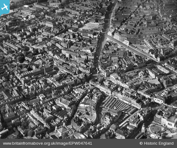
EPW047641 ENGLAND (1935). The Haymarket and city centre, Leicester, 1935
© Copyright OpenStreetMap contributors and licensed by the OpenStreetMap Foundation. 2026. Cartography is licensed as CC BY-SA.
Nearby Images (21)
EPW047641

EPW047645

EPW055006

EPW020895

EPW047643

EPW018433

EAW024243

EAW024242

EAW024239

EAW051834

EPW018435

EAW024244

EPW018422

EPW018412

EAW051831

EPW055011

EPW018431

EAW024240

EPW018436

EPW061211

EPW020892

Details
| Title | [EPW047641] The Haymarket and city centre, Leicester, 1935 |
| Reference | EPW047641 |
| Date | June-1935 |
| Link | |
| Place name | LEICESTER |
| Parish | |
| District | |
| Country | ENGLAND |
| Easting / Northing | 458745, 304644 |
| Longitude / Latitude | -1.1318413432809, 52.636010129396 |
| National Grid Reference | SK587046 |
Pins

Paul821ph |
Monday 5th of April 2021 11:40:46 AM |
