
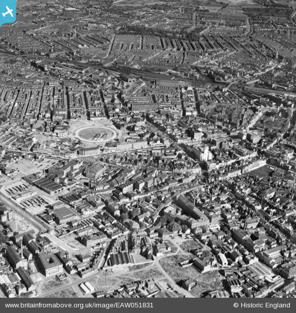
EAW051831 ENGLAND (1953). The city centre around Lee Street and Humberstone Gate, Leicester, 1953
© Copyright OpenStreetMap contributors and licensed by the OpenStreetMap Foundation. 2026. Cartography is licensed as CC BY-SA.
Nearby Images (21)
EAW051831

EAW024239

EAW024244

EPW061213

EAW024243

EPW055011

EPW018422

EPW047643

EAW024242

EPW055006

EPW047641

EPW047645

EAW051834

EPW018412

EPW020895

EPW061207

EPW018433

EPW055009

EAW010038

EAW010035

EAW010031

Details
| Title | [EAW051831] The city centre around Lee Street and Humberstone Gate, Leicester, 1953 |
| Reference | EAW051831 |
| Date | 1-September-1953 |
| Link | |
| Place name | LEICESTER |
| Parish | |
| District | |
| Country | ENGLAND |
| Easting / Northing | 458946, 304709 |
| Longitude / Latitude | -1.128859645005, 52.636572662111 |
| National Grid Reference | SK589047 |


