
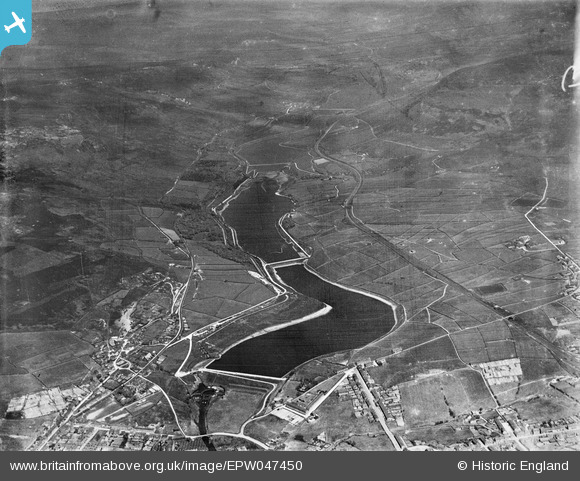
EPW047450 ENGLAND (1935). Bottoms, Valehouse and Rhodeswood Reservoirs, Longdendale, from the south-east, 1935
© Copyright OpenStreetMap contributors and licensed by the OpenStreetMap Foundation. 2025. Cartography is licensed as CC BY-SA.
Nearby Images (6)
EPW047450

EAW051438

EPW047444

EPW047447

EAW051439

EPW047443

Details
| Title | [EPW047450] Bottoms, Valehouse and Rhodeswood Reservoirs, Longdendale, from the south-east, 1935 |
| Reference | EPW047450 |
| Date | May-1935 |
| Link | |
| Place name | LONGDENDALE |
| Parish | TINTWISTLE |
| District | |
| Country | ENGLAND |
| Easting / Northing | 402882, 397139 |
| Longitude / Latitude | -1.9565779409007, 53.470725164496 |
| National Grid Reference | SK029971 |
Pins
Be the first to add a comment to this image!