
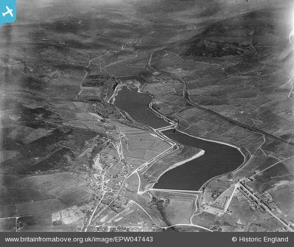
EPW047443 ENGLAND (1935). Bottoms, Valehouse, Rhodeswood and Torside Reservoirs, Longdendale, from the west, 1935
© Copyright OpenStreetMap contributors and licensed by the OpenStreetMap Foundation. 2025. Cartography is licensed as CC BY-SA.
Nearby Images (6)
EPW047443

EAW051439

EAW051438

EPW047448

EPW047442

EPW047450

Details
| Title | [EPW047443] Bottoms, Valehouse, Rhodeswood and Torside Reservoirs, Longdendale, from the west, 1935 |
| Reference | EPW047443 |
| Date | May-1935 |
| Link | |
| Place name | LONGDENDALE |
| Parish | TINTWISTLE |
| District | |
| Country | ENGLAND |
| Easting / Northing | 402639, 397274 |
| Longitude / Latitude | -1.9602379993666, 53.47194002156 |
| National Grid Reference | SK026973 |
Pins
Be the first to add a comment to this image!