
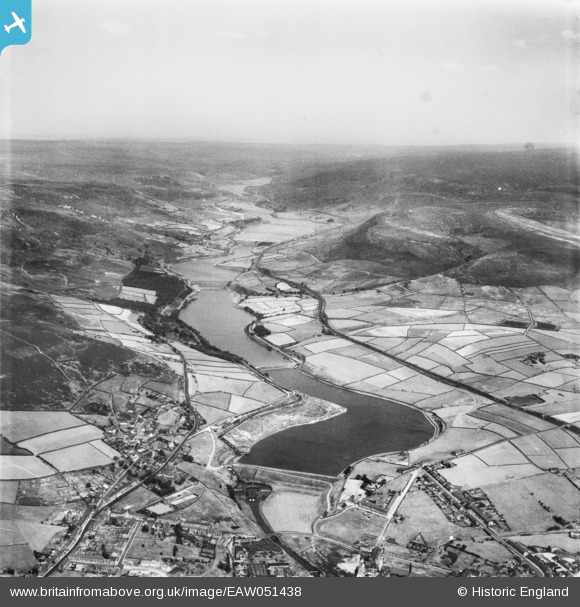
EAW051438 ENGLAND (1953). Bottoms Reservoir, Valehouse Reservoir and environs, Tintwhistle, from the west, 1953
© Copyright OpenStreetMap contributors and licensed by the OpenStreetMap Foundation. 2025. Cartography is licensed as CC BY-SA.
Nearby Images (6)
EAW051438

EAW051439

EPW047443

EPW047450

EPW047448

EPW047444

Details
| Title | [EAW051438] Bottoms Reservoir, Valehouse Reservoir and environs, Tintwhistle, from the west, 1953 |
| Reference | EAW051438 |
| Date | 12-August-1953 |
| Link | |
| Place name | TINTWHISTLE |
| Parish | TINTWISTLE |
| District | |
| Country | ENGLAND |
| Easting / Northing | 402741, 397181 |
| Longitude / Latitude | -1.9587019701357, 53.471103476639 |
| National Grid Reference | SK027972 |
Pins
Be the first to add a comment to this image!