
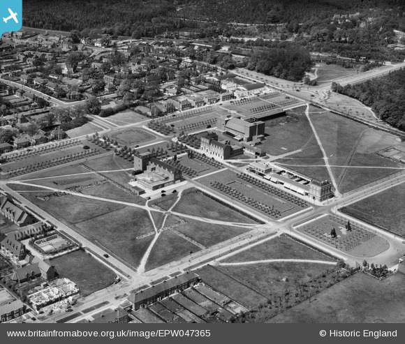
EPW047365 ENGLAND (1935). Howardsgate and environs, Welwyn Garden City, 1935
© Copyright OpenStreetMap contributors and licensed by the OpenStreetMap Foundation. 2026. Cartography is licensed as CC BY-SA.
Nearby Images (33)
EPW047365

EPW047362

EPW047364

EPW054493

EPW047363

EPW054496

EPW047361

EPW025528

EPW054497

EAW013995

EPW054533

EPW054513

EPW022023

EPW054498

EAW035461

EPW022024

EPW022015

EPW062006

EPW022026

EPW062002

EPW062001

EPW062003

EPW062005

EPW022017

EPW047342

EPW025536

EPW047357

EPW022030

EPW047356

EPW054494

EPW047366

EPW054505

EPW054502

Details
| Title | [EPW047365] Howardsgate and environs, Welwyn Garden City, 1935 |
| Reference | EPW047365 |
| Date | May-1935 |
| Link | |
| Place name | WELWYN GARDEN CITY |
| Parish | |
| District | |
| Country | ENGLAND |
| Easting / Northing | 523692, 212992 |
| Longitude / Latitude | -0.20592245869163, 51.801424505952 |
| National Grid Reference | TL237130 |
Pins
Be the first to add a comment to this image!