
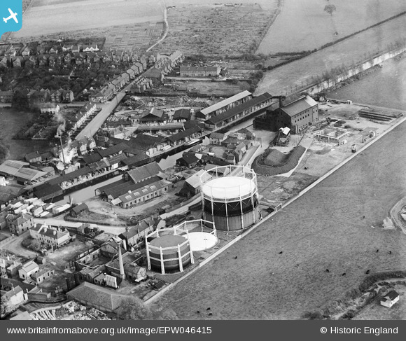
EPW046415 ENGLAND (1934). Brown and Sons Timber Yard on Navigation Road and the Chelmsford Corporation Gas Works, Chelmsford, 1934
© Copyright OpenStreetMap contributors and licensed by the OpenStreetMap Foundation. 2026. Cartography is licensed as CC BY-SA.
Nearby Images (21)
EPW046415

EPW046411

EPW009554

EPW046414

EPW046410

EPW016553

EPW016553
EPW009560

EPW046412

EPW046413

EPW046419

EPW058735

EPW046420

EPW046450

EPW046453

EPW046451

EPW046452

EPW046454

EPW046417

EPW046449

EPW046418

Details
| Title | [EPW046415] Brown and Sons Timber Yard on Navigation Road and the Chelmsford Corporation Gas Works, Chelmsford, 1934 |
| Reference | EPW046415 |
| Date | October-1934 |
| Link | |
| Place name | CHELMSFORD |
| Parish | |
| District | |
| Country | ENGLAND |
| Easting / Northing | 571393, 206584 |
| Longitude / Latitude | 0.48218646923778, 51.731272681862 |
| National Grid Reference | TL714066 |
Pins

Ian |
Saturday 14th of November 2015 07:47:13 AM | |
|
Ian |
Saturday 14th of November 2015 07:46:33 AM | |
|
Ian |
Saturday 14th of November 2015 07:45:37 AM | |
|
Ian |
Saturday 14th of November 2015 07:44:32 AM | |
|
Ian |
Saturday 14th of November 2015 07:43:08 AM | |
|
Ian |
Sunday 26th of January 2014 04:58:10 PM | |
|
Ian |
Sunday 19th of January 2014 09:10:04 PM | |
|
Ian |
Sunday 19th of January 2014 09:09:29 PM | |
|
Ian |
Sunday 19th of January 2014 09:08:56 PM | |
|
Ian |
Sunday 19th of January 2014 09:08:18 PM | |
|
Ian |
Sunday 19th of January 2014 09:07:45 PM |