
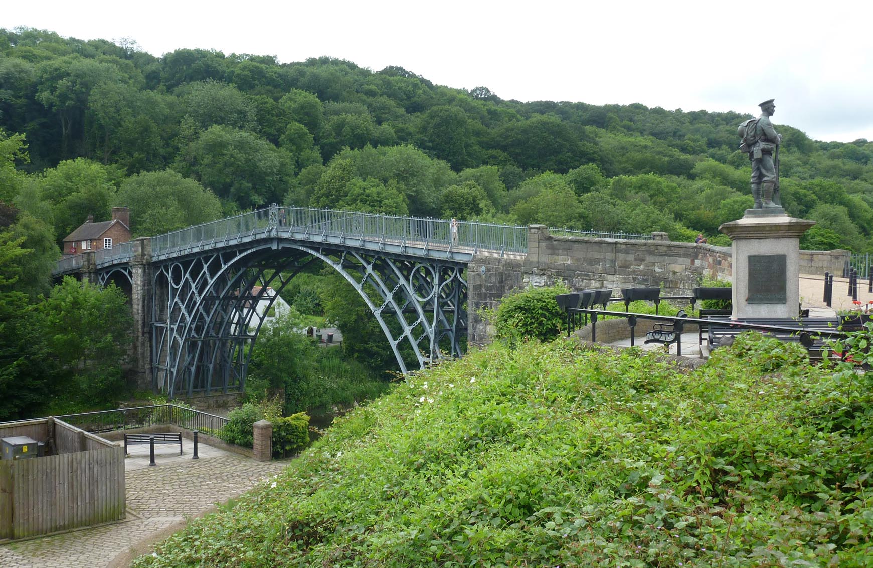
EPW046397 ENGLAND (1934). Ironbridge Gorge, Ironbridge, from the south-east, 1934

© Copyright OpenStreetMap contributors and licensed by the OpenStreetMap Foundation. 2026. Cartography is licensed as CC BY-SA.
Nearby Images (11)
EPW046397

EPW046396

EPW046400

EAW012588

EPW061314

EPW061308

EPW046405

EPW061313

EAW012672

EPW046399

EPW061312

Details
| Title | [EPW046397] Ironbridge Gorge, Ironbridge, from the south-east, 1934 |
| Reference | EPW046397 |
| Date | October-1934 |
| Link | |
| Place name | IRONBRIDGE |
| Parish | THE GORGE |
| District | |
| Country | ENGLAND |
| Easting / Northing | 368072, 303085 |
| Longitude / Latitude | -2.4717156126032, 52.624234878721 |
| National Grid Reference | SJ681031 |
Pins

severnsider |
Wednesday 18th of November 2015 02:33:26 PM |
User Comment Contributions
The Iron Bridge |

Alan McFaden |
Monday 24th of November 2014 12:52:16 PM |
Iron Bridge |
Alan McFaden |
Monday 24th of November 2014 12:51:54 PM |