
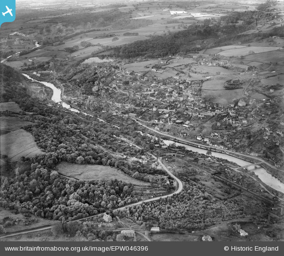
EPW046396 ENGLAND (1934). Ironbridge Gorge, Ironbridge, from the south-east, 1934
© Copyright OpenStreetMap contributors and licensed by the OpenStreetMap Foundation. 2026. Cartography is licensed as CC BY-SA.
Nearby Images (7)
EPW046396

EPW046397

EAW012588

EPW061314

EPW046400

EPW061308

EPW061313

Details
| Title | [EPW046396] Ironbridge Gorge, Ironbridge, from the south-east, 1934 |
| Reference | EPW046396 |
| Date | October-1934 |
| Link | |
| Place name | IRONBRIDGE |
| Parish | THE GORGE |
| District | |
| Country | ENGLAND |
| Easting / Northing | 367990, 303011 |
| Longitude / Latitude | -2.4729198937927, 52.623564753471 |
| National Grid Reference | SJ680030 |
Pins

severnsider |
Sunday 28th of July 2013 07:10:43 PM | |
|
severnsider |
Sunday 28th of July 2013 07:10:22 PM | |
|
severnsider |
Sunday 28th of July 2013 07:09:48 PM | |
|
severnsider |
Sunday 28th of July 2013 07:08:52 PM | |
|
severnsider |
Sunday 28th of July 2013 07:08:05 PM | |
|
severnsider |
Sunday 28th of July 2013 07:07:32 PM | |
|
severnsider |
Sunday 28th of July 2013 07:06:52 PM |