
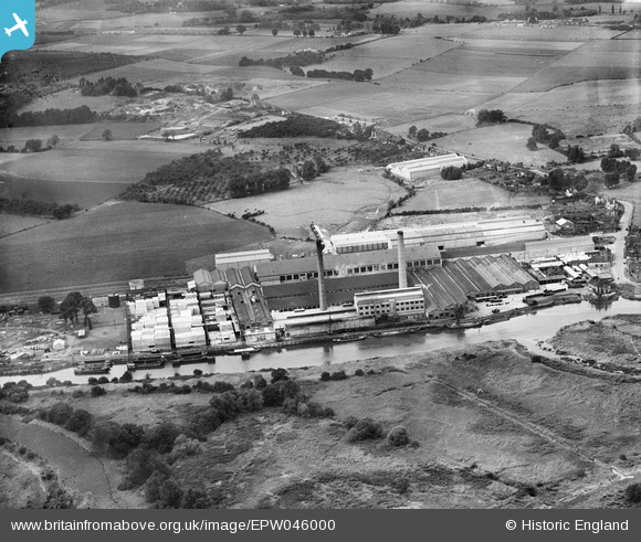
EPW046000 ENGLAND (1934). Aylesford Paper Mill, Ditton, 1934
© Copyright OpenStreetMap contributors and licensed by the OpenStreetMap Foundation. 2026. Cartography is licensed as CC BY-SA.
Nearby Images (17)
EPW046000

EPW045999

EPW045998

EAW001974

EAW018286

EPW046001

EAW001977

EPW045997

EAW001979

EPW046002

EAW001975

EPW047728

EPW047727

EAW001976

EAW001973

EAW018288

EAW018287

Details
| Title | [EPW046000] Aylesford Paper Mill, Ditton, 1934 |
| Reference | EPW046000 |
| Date | September-1934 |
| Link | |
| Place name | DITTON |
| Parish | DITTON |
| District | |
| Country | ENGLAND |
| Easting / Northing | 571422, 159791 |
| Longitude / Latitude | 0.45983871090398, 51.31087065162 |
| National Grid Reference | TQ714598 |
Pins
Be the first to add a comment to this image!