
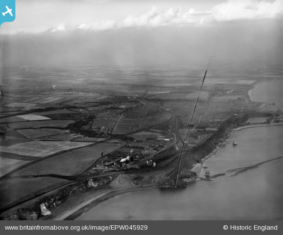
EPW045929 ENGLAND (1934). The town, Seaham, from the south-east, 1934. This image has been produced from a damaged negative.
© Copyright OpenStreetMap contributors and licensed by the OpenStreetMap Foundation. 2026. Cartography is licensed as CC BY-SA.
Nearby Images (8)
EPW045929

EPW045926

EPW045928

EPW045922

EPW045923

EPW045924

EPW045927

EPW045925

Details
| Title | [EPW045929] The town, Seaham, from the south-east, 1934. This image has been produced from a damaged negative. |
| Reference | EPW045929 |
| Date | August-1934 |
| Link | |
| Place name | SEAHAM |
| Parish | SEAHAM |
| District | |
| Country | ENGLAND |
| Easting / Northing | 443649, 547858 |
| Longitude / Latitude | -1.3205556770601, 54.823567874212 |
| National Grid Reference | NZ436479 |
Pins
Be the first to add a comment to this image!