
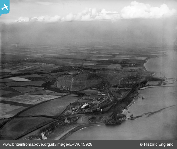
EPW045928 ENGLAND (1934). The town, Seaham, from the south-east, 1934
© Copyright OpenStreetMap contributors and licensed by the OpenStreetMap Foundation. 2026. Cartography is licensed as CC BY-SA.
Nearby Images (8)
EPW045928

EPW045926

EPW045929

EPW045924

EPW045922

EPW045925

EPW045927

EPW045923

Details
| Title | [EPW045928] The town, Seaham, from the south-east, 1934 |
| Reference | EPW045928 |
| Date | August-1934 |
| Link | |
| Place name | SEAHAM |
| Parish | SEAHAM |
| District | |
| Country | ENGLAND |
| Easting / Northing | 443554, 547866 |
| Longitude / Latitude | -1.3220331360491, 54.823648035773 |
| National Grid Reference | NZ436479 |
Pins
Be the first to add a comment to this image!