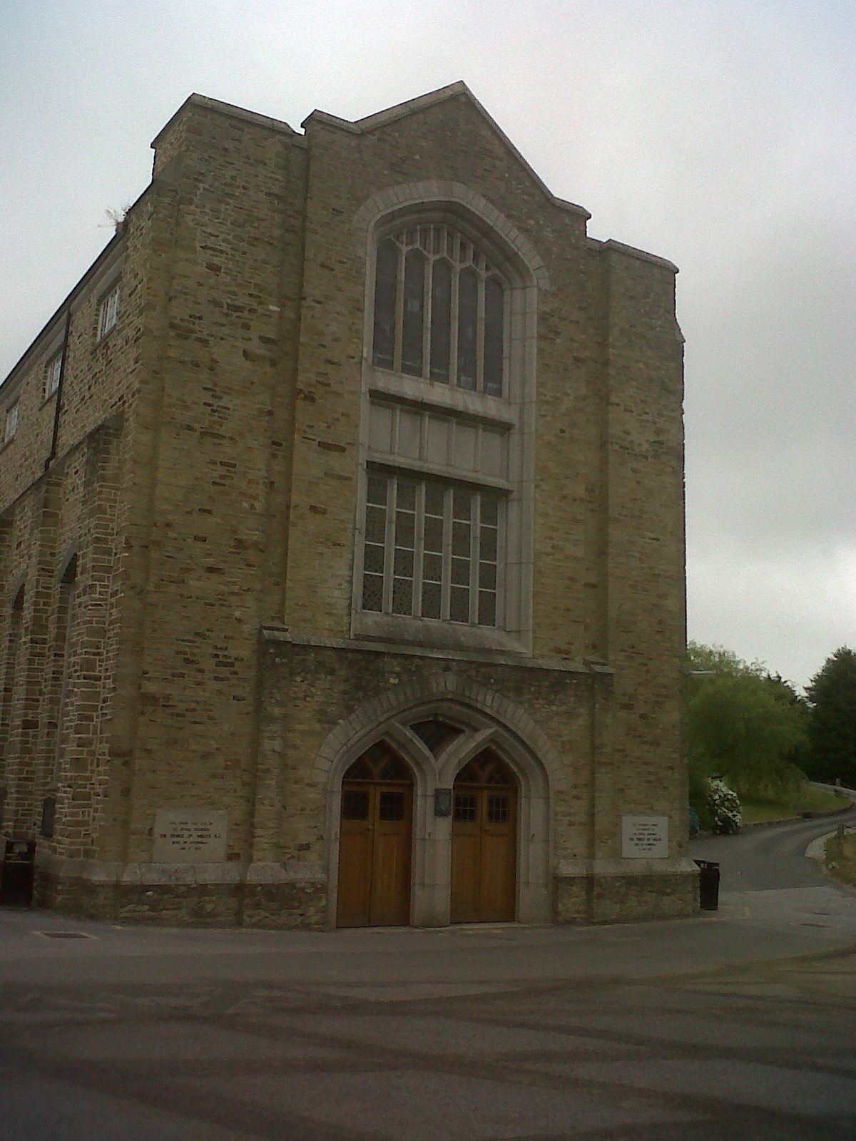
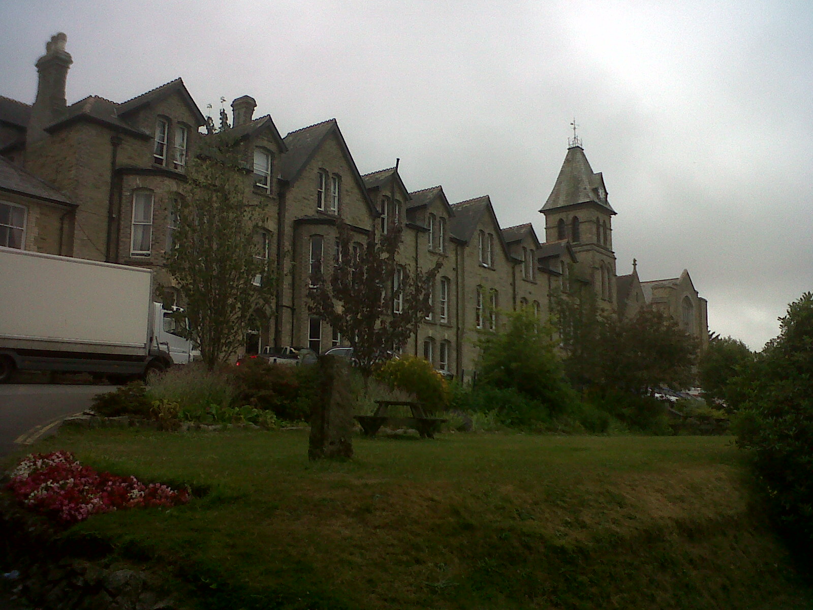
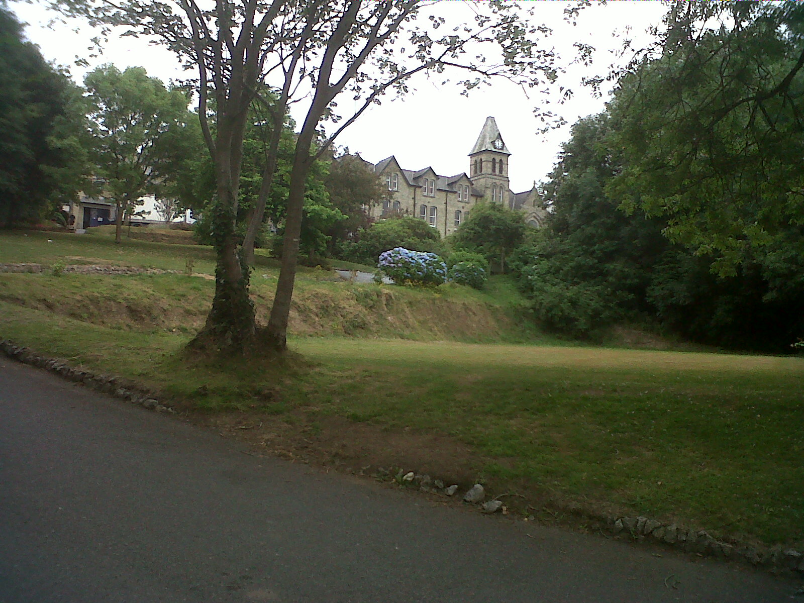
EPW045690 ENGLAND (1934). Truro College and surrounding countryside, Truro, from the west, 1934

© Copyright OpenStreetMap contributors and licensed by the OpenStreetMap Foundation. 2026. Cartography is licensed as CC BY-SA.
Nearby Images (9)
EPW045690

EPW045689

EPW045686

EPW021660

EPW045691

EPW021665

EPW045688

EPW045692

EPW021661

Details
| Title | [EPW045690] Truro College and surrounding countryside, Truro, from the west, 1934 |
| Reference | EPW045690 |
| Date | July-1934 |
| Link | |
| Place name | TRURO |
| Parish | TRURO |
| District | |
| Country | ENGLAND |
| Easting / Northing | 183098, 44528 |
| Longitude / Latitude | -5.0435303645431, 50.260221744447 |
| National Grid Reference | SW831445 |
Pins
Be the first to add a comment to this image!