
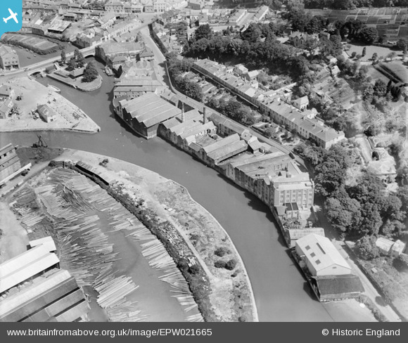
EPW021665 ENGLAND (1928). Wharves on the Truro River, Truro, 1928
© Copyright OpenStreetMap contributors and licensed by the OpenStreetMap Foundation. 2026. Cartography is licensed as CC BY-SA.
Nearby Images (8)
EPW021665

EPW045691

EPW045690

EPW021661

EPW045686

EPW045689

EPW021660

EPW045688

Details
| Title | [EPW021665] Wharves on the Truro River, Truro, 1928 |
| Reference | EPW021665 |
| Date | 24-June-1928 |
| Link | |
| Place name | TRURO |
| Parish | TRURO |
| District | |
| Country | ENGLAND |
| Easting / Northing | 182990, 44596 |
| Longitude / Latitude | -5.0450825030368, 50.260792830926 |
| National Grid Reference | SW830446 |
Pins
 |

Class31 |
Monday 22nd of July 2013 10:25:24 PM |
User Comment Contributions
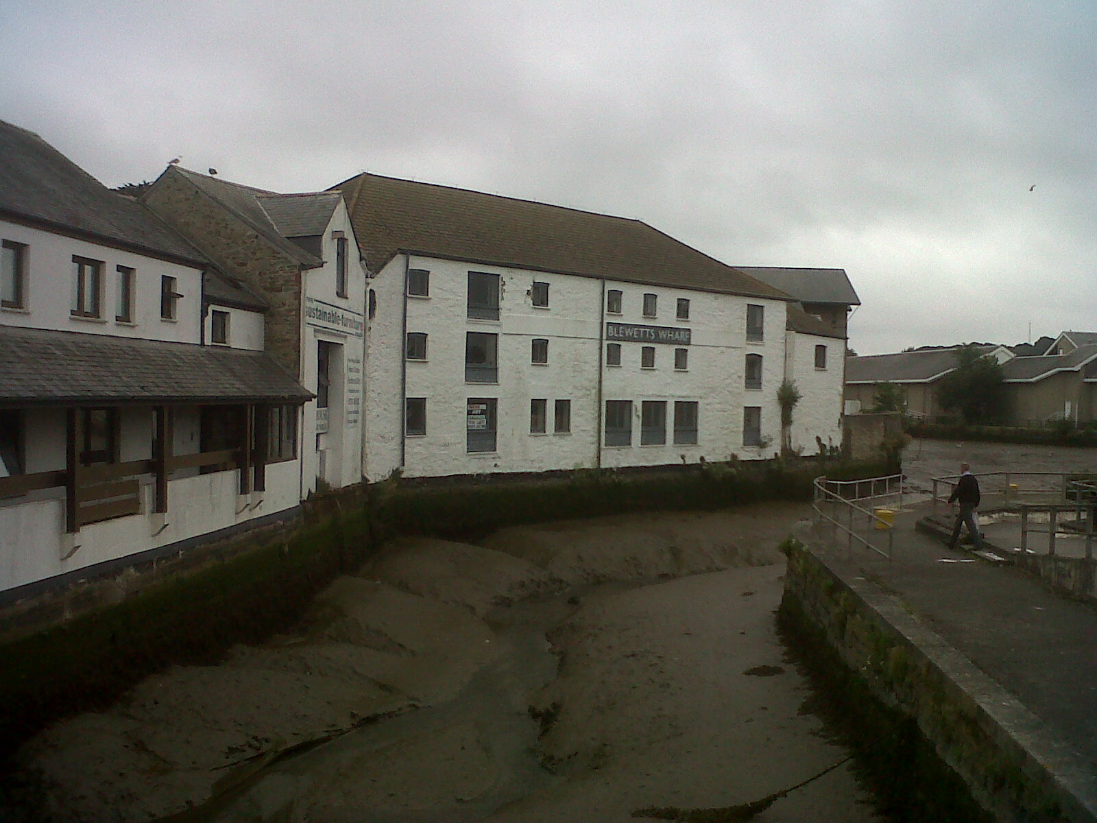
Blewetts Wharf at low tide. |
Class31 |
Tuesday 23rd of July 2013 08:54:44 AM |