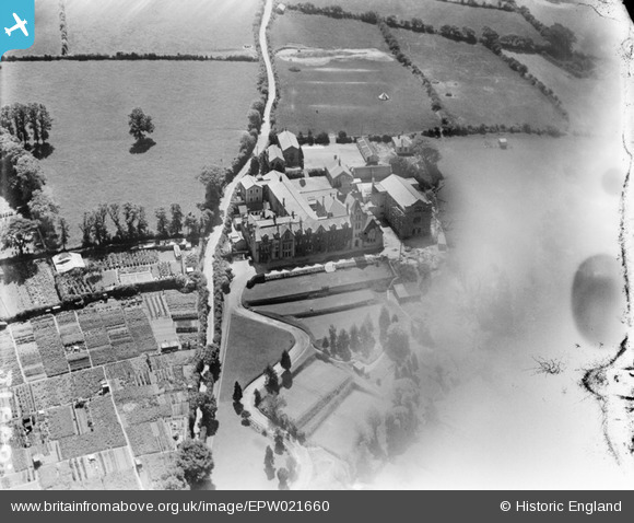
EPW021660 ENGLAND (1928). Truro College on Trennick Lane, Truro, 1928
© Copyright OpenStreetMap contributors and licensed by the OpenStreetMap Foundation. 2026. Cartography is licensed as CC BY-SA.
Nearby Images (8)
EPW021660

EPW045686

EPW045689

EPW045690

EPW021665

EPW045691

EPW045692

EPW045688

Details
| Title | [EPW021660] Truro College on Trennick Lane, Truro, 1928 |
| Reference | EPW021660 |
| Date | 24-June-1928 |
| Link | |
| Place name | TRURO |
| Parish | TRURO |
| District | |
| Country | ENGLAND |
| Easting / Northing | 183180, 44575 |
| Longitude / Latitude | -5.0424083906502, 50.260673992061 |
| National Grid Reference | SW832446 |