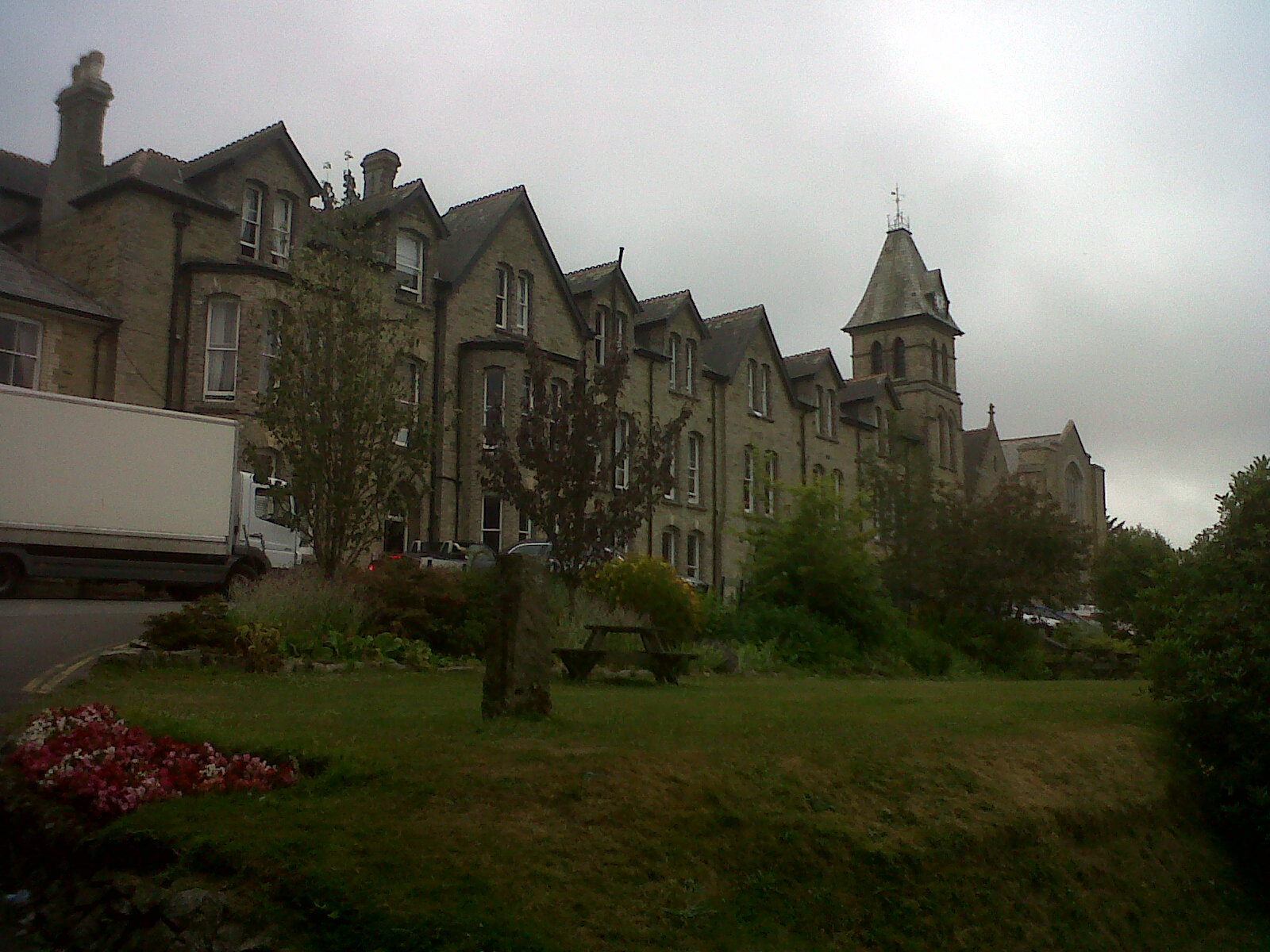
EPW045692 ENGLAND (1934). Truro College, Trennick Row and surrounding countryside, Truro, 1934

© Copyright OpenStreetMap contributors and licensed by the OpenStreetMap Foundation. 2026. Cartography is licensed as CC BY-SA.
Nearby Images (6)
EPW045692

EPW045688

EPW045689

EPW045686

EPW021660

EPW045690

Details
| Title | [EPW045692] Truro College, Trennick Row and surrounding countryside, Truro, 1934 |
| Reference | EPW045692 |
| Date | July-1934 |
| Link | |
| Place name | TRURO |
| Parish | TRURO |
| District | |
| Country | ENGLAND |
| Easting / Northing | 183272, 44392 |
| Longitude / Latitude | -5.0410146385552, 50.259064098324 |
| National Grid Reference | SW833444 |
Pins
Be the first to add a comment to this image!