
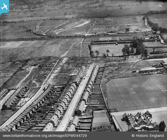
EPW044729 ENGLAND (1934). Woodlands Road, St Mary's Road and environs, Jubilee Park, from the west, 1934
© Copyright OpenStreetMap contributors and licensed by the OpenStreetMap Foundation. 2025. Cartography is licensed as CC BY-SA.
Nearby Images (10)
EPW044729

EPW044727

EPW044311

EPW044310

EPW044728

EPW044312

EPW044313

EPW044725

EPW044730

EPW044717

Details
| Title | [EPW044729] Woodlands Road, St Mary's Road and environs, Jubilee Park, from the west, 1934 |
| Reference | EPW044729 |
| Date | June-1934 |
| Link | |
| Place name | JUBILEE PARK |
| Parish | |
| District | |
| Country | ENGLAND |
| Easting / Northing | 535182, 194281 |
| Longitude / Latitude | -0.04662827442787, 51.630610180814 |
| National Grid Reference | TQ352943 |
Pins

john ruscoe |
Saturday 2nd of November 2013 06:07:18 PM | |
|
john ruscoe |
Saturday 2nd of November 2013 06:00:31 PM | |
|
john ruscoe |
Saturday 2nd of November 2013 05:59:40 PM | |
|
john ruscoe |
Saturday 2nd of November 2013 04:40:58 AM | |
|
john ruscoe |
Saturday 2nd of November 2013 04:38:53 AM | |
|
john ruscoe |
Saturday 2nd of November 2013 04:36:49 AM | |
|
john ruscoe |
Saturday 2nd of November 2013 04:36:03 AM | |
|
john ruscoe |
Saturday 2nd of November 2013 04:35:26 AM | |
|
john ruscoe |
Saturday 2nd of November 2013 04:34:42 AM |