
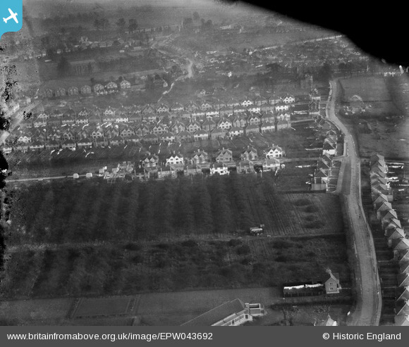
EPW043692 ENGLAND (1934). Blossom Waye and environs, Heston, 1934. This image has been produced from a damaged negative.
© Copyright OpenStreetMap contributors and licensed by the OpenStreetMap Foundation. 2026. Cartography is licensed as CC BY-SA.
Nearby Images (16)
EPW043692

EPW043710

EPW057931

EPW043704

EPW043705

EPW043708

EPW043706

EPW043707

EPW043691

EPW031238

EPW043690

EPW043688

EPW043693

EPW043689

EPW043687

EPW043709

Details
| Title | [EPW043692] Blossom Waye and environs, Heston, 1934. This image has been produced from a damaged negative. |
| Reference | EPW043692 |
| Date | January-1934 |
| Link | |
| Place name | HESTON |
| Parish | |
| District | |
| Country | ENGLAND |
| Easting / Northing | 512163, 177421 |
| Longitude / Latitude | -0.38447348097435, 51.484119974014 |
| National Grid Reference | TQ122774 |
Pins

Isleworth1961 |
Monday 10th of June 2013 07:01:23 PM | |
|
Isleworth1961 |
Monday 10th of June 2013 06:59:16 PM | |
|
Isleworth1961 |
Monday 10th of June 2013 06:58:51 PM | |
|
Isleworth1961 |
Monday 10th of June 2013 06:58:22 PM | |
|
Isleworth1961 |
Monday 10th of June 2013 06:57:39 PM | |
|
Isleworth1961 |
Monday 10th of June 2013 06:57:08 PM |