
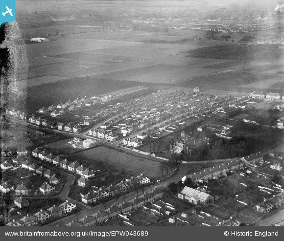
EPW043689 ENGLAND (1934). Meadow Waye and environs, Heston, from the south-east, 1934. This image has been produced from a damaged negative.
© Copyright OpenStreetMap contributors and licensed by the OpenStreetMap Foundation. 2026. Cartography is licensed as CC BY-SA.
Nearby Images (13)
EPW043689

EPW043709

EPW043688

EPW043707

EPW043706

EPW043693

EPW043708

EPW057931

EPW043705

EPW043710

EPW043704

EPW043690

EPW043692

Details
| Title | [EPW043689] Meadow Waye and environs, Heston, from the south-east, 1934. This image has been produced from a damaged negative. |
| Reference | EPW043689 |
| Date | January-1934 |
| Link | |
| Place name | HESTON |
| Parish | |
| District | |
| Country | ENGLAND |
| Easting / Northing | 512372, 177284 |
| Longitude / Latitude | -0.38150807070769, 51.482846992236 |
| National Grid Reference | TQ124773 |
Pins

Isleworth1961 |
Wednesday 19th of June 2013 10:49:32 PM | |
|
Isleworth1961 |
Wednesday 19th of June 2013 10:48:32 PM |