
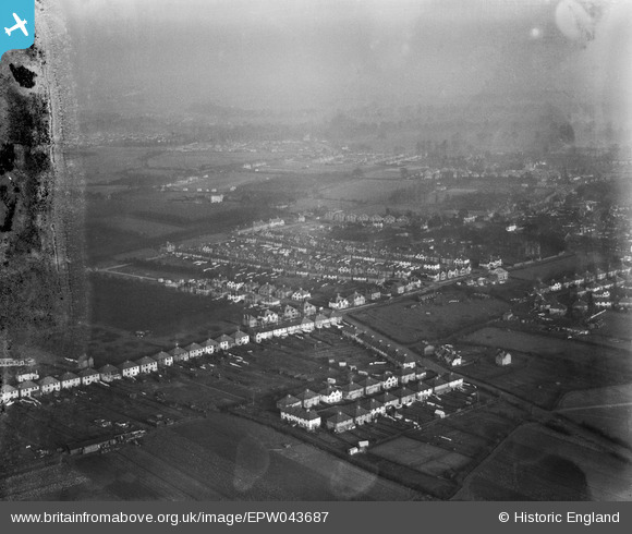
EPW043687 ENGLAND (1934). Cranford Lane and environs, Heston, from the south-west, 1934. This image has been produced from a damaged negative.
© Copyright OpenStreetMap contributors and licensed by the OpenStreetMap Foundation. 2026. Cartography is licensed as CC BY-SA.
Nearby Images (10)
EPW043687

EPW043691

EPW043690

EPW043704

EPW035081

EPW043705

EPW043710

EPW043708

EPW057931

EPW043692

Details
| Title | [EPW043687] Cranford Lane and environs, Heston, from the south-west, 1934. This image has been produced from a damaged negative. |
| Reference | EPW043687 |
| Date | January-1934 |
| Link | |
| Place name | HESTON |
| Parish | |
| District | |
| Country | ENGLAND |
| Easting / Northing | 511986, 177222 |
| Longitude / Latitude | -0.38708491418956, 51.482366252644 |
| National Grid Reference | TQ120772 |
Pins

Des Elmes |
Thursday 14th of April 2016 11:50:58 PM |