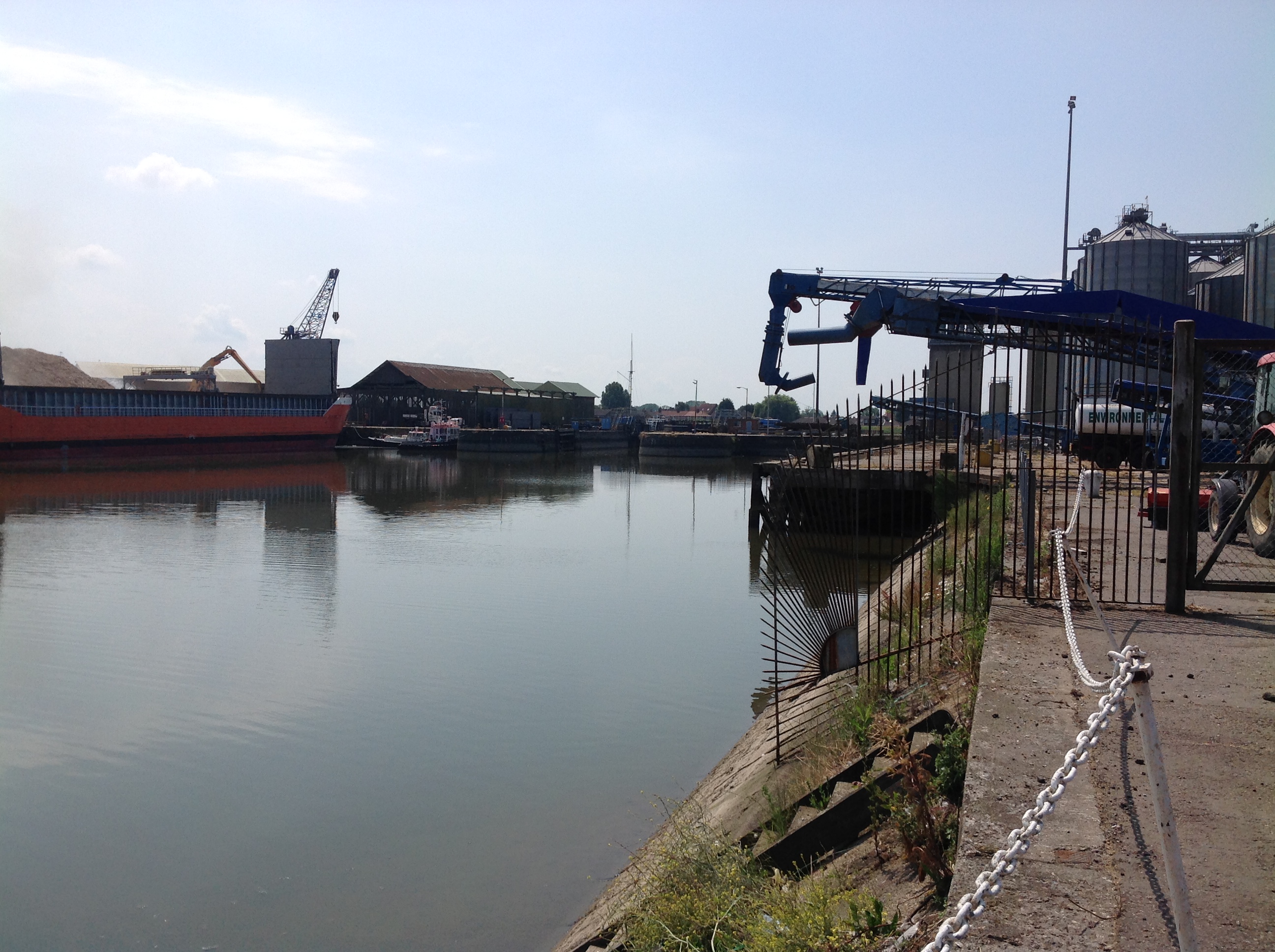
EPW043360 ENGLAND (1933). Alexandra Dock and environs, King's Lynn, from the south-west, 1933

© Copyright OpenStreetMap contributors and licensed by the OpenStreetMap Foundation. 2026. Cartography is licensed as CC BY-SA.
Nearby Images (18)
EPW043360

EPW031688

EPW043357

EPW031689

EPW031690

EPW031686

EPW043359

EPW043354

EPW034696

EPW043356

EPW031685

EPW031687

EPW021482

EAW044459

EPW021483

EPW034698

EPW039196

EPW043358

Details
| Title | [EPW043360] Alexandra Dock and environs, King's Lynn, from the south-west, 1933 |
| Reference | EPW043360 |
| Date | September-1933 |
| Link | |
| Place name | KING'S LYNN |
| Parish | |
| District | |
| Country | ENGLAND |
| Easting / Northing | 561426, 320532 |
| Longitude / Latitude | 0.39243830486436, 52.757906281312 |
| National Grid Reference | TF614205 |