
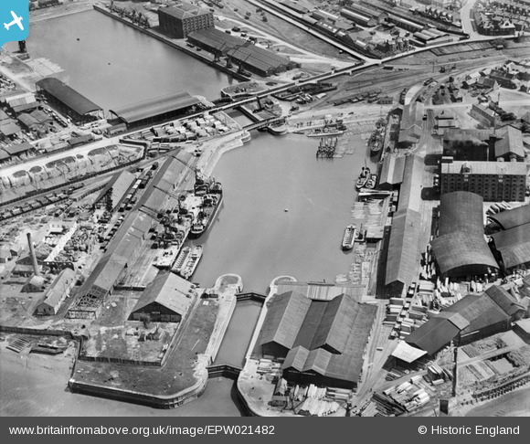
EPW021482 ENGLAND (1928). Alexandra Dock and Bentinck Dock, Kings Lynn, 1928
© Copyright OpenStreetMap contributors and licensed by the OpenStreetMap Foundation. 2026. Cartography is licensed as CC BY-SA.
Nearby Images (19)
EPW021482

EPW043356

EPW021483

EPW034698

EPW034696

EPW043359

EPW039196

EPW043358

EPW031685

EPW043354

EPW031686

EPW043357

EPW031689

EPW043360

EPW043355

EPW031688

EAW044459

EPW021481

EPW031690

Details
| Title | [EPW021482] Alexandra Dock and Bentinck Dock, Kings Lynn, 1928 |
| Reference | EPW021482 |
| Date | June-1928 |
| Link | |
| Place name | KINGS LYNN |
| Parish | |
| District | |
| Country | ENGLAND |
| Easting / Northing | 561584, 320632 |
| Longitude / Latitude | 0.39482703696769, 52.758757324784 |
| National Grid Reference | TF616206 |
Pins

Wissey |
Thursday 18th of March 2021 03:00:54 PM | |

Class31 |
Wednesday 25th of June 2014 04:38:01 PM | |
|
Class31 |
Wednesday 25th of June 2014 04:36:59 PM | |
|
Class31 |
Wednesday 25th of June 2014 04:36:06 PM | |
|
MB |
Sunday 14th of October 2012 09:31:51 AM | |
|
MB |
Sunday 14th of October 2012 09:27:51 AM |


User Comment Contributions

This contemporary point and click view of the docks from above was taken at 18:27 on the 12 August 2015 from an open cockpit flexwing microlight aircraft at approximately 2000ft. The camera was a Lumix TZ60. The cameras internal GPS gives its Lat/Long position as 52° 45' 4"N 0° 21' 43.8"E when the photograph was taken. |
SMFurner |
Thursday 13th of August 2015 09:06:20 PM |
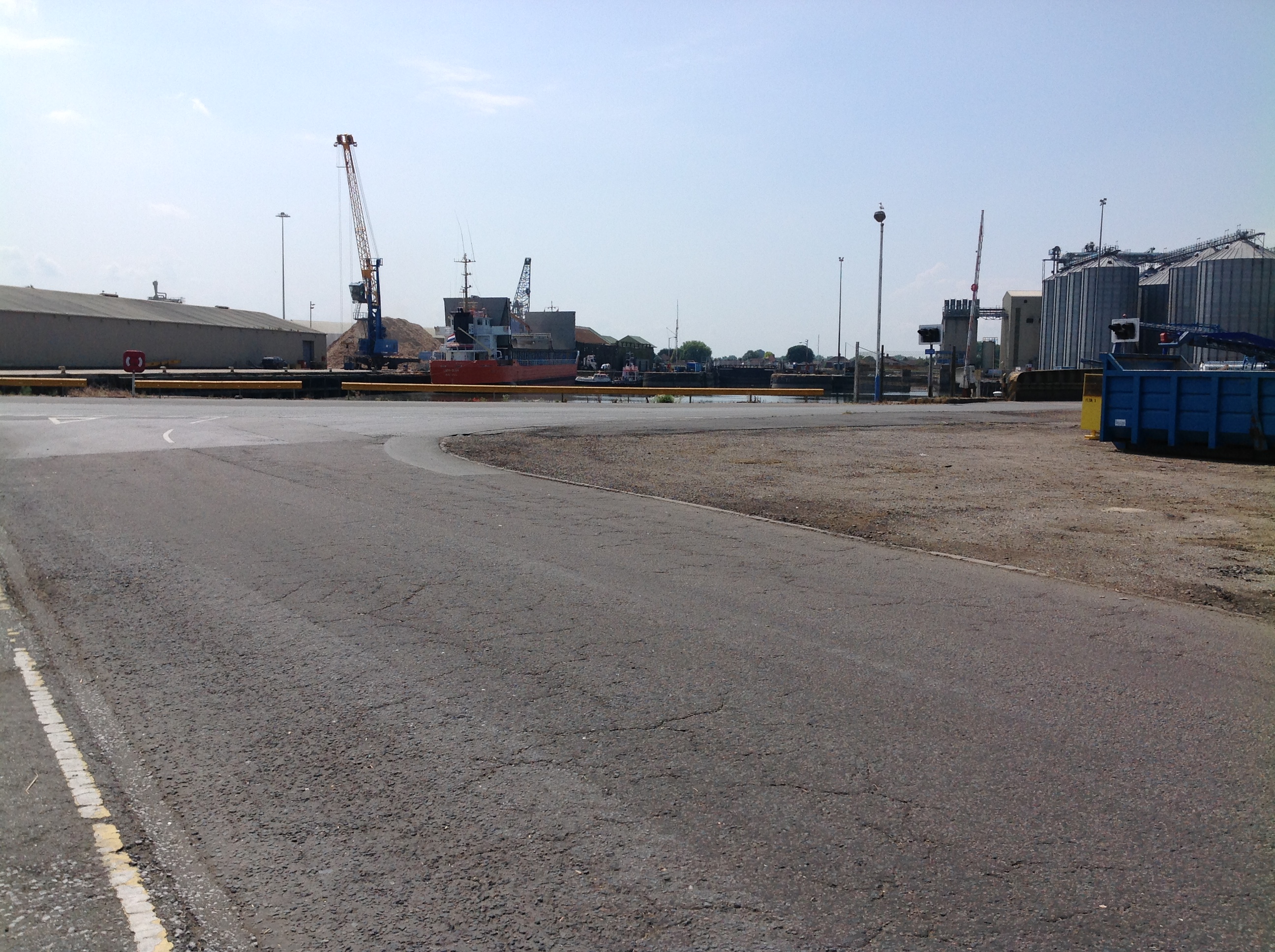
Alexandra Dock, 23/06/2014 |
Class31 |
Wednesday 25th of June 2014 04:38:32 PM |