
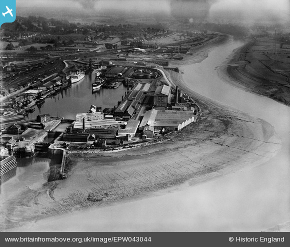
EPW043044 ENGLAND (1933). The granaries on Nelson Point beside Avonmouth Dock, Avonmouth, 1933
© Copyright OpenStreetMap contributors and licensed by the OpenStreetMap Foundation. 2026. Cartography is licensed as CC BY-SA.
Nearby Images (16)
EPW043044

EPW005488

EPW008651

EPW014691

EPW043043

EPW046970

EPW005513

EPW043048

EPW008649

EPW043049

EPW005487

EPW043046

EPW005517

EPW043045

EAW002071

EPW043047

Details
| Title | [EPW043044] The granaries on Nelson Point beside Avonmouth Dock, Avonmouth, 1933 |
| Reference | EPW043044 |
| Date | September-1933 |
| Link | |
| Place name | AVONMOUTH |
| Parish | |
| District | |
| Country | ENGLAND |
| Easting / Northing | 351016, 177957 |
| Longitude / Latitude | -2.7057317669346, 51.497944261632 |
| National Grid Reference | ST510780 |
Pins

pewseyfam |
Saturday 30th of August 2014 01:14:12 AM |