
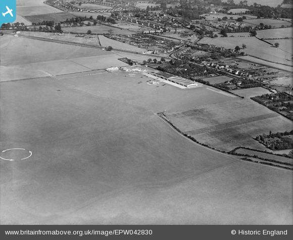
EPW042830 ENGLAND (1933). Hatfield Aerodrome, Hatfield, 1933
© Copyright OpenStreetMap contributors and licensed by the OpenStreetMap Foundation. 2026. Cartography is licensed as CC BY-SA.
Nearby Images (7)
EPW042830

EPW061120

EPW042829

EPW042828

EPW061123

EPW042825

EPW042827

Details
| Title | [EPW042830] Hatfield Aerodrome, Hatfield, 1933 |
| Reference | EPW042830 |
| Date | August-1933 |
| Link | |
| Place name | HATFIELD |
| Parish | HATFIELD |
| District | |
| Country | ENGLAND |
| Easting / Northing | 521110, 208654 |
| Longitude / Latitude | -0.24486764762856, 51.763000504729 |
| National Grid Reference | TL211087 |
Pins
Be the first to add a comment to this image!