
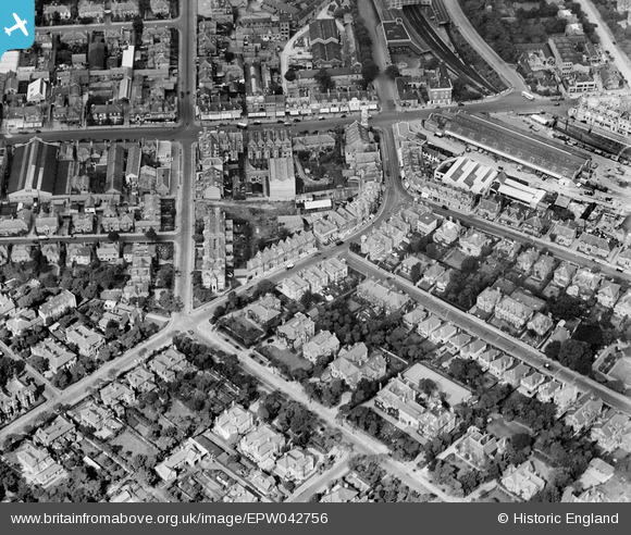
EPW042756 ENGLAND (1933). St Swithun's Road and environs, Bournemouth, 1933
© Copyright OpenStreetMap contributors and licensed by the OpenStreetMap Foundation. 2026. Cartography is licensed as CC BY-SA.
Nearby Images (18)
EPW042756

EPW042754

EPW042874

EPW042876

EPW042757

EPW042753

EPW042751

EPW046186

EPW042758

EPW042755

EPW042752

EPW042875

EAW033404

EAW033403

EAW033399

EAW033405

EAW033402

EPW042873

Details
| Title | [EPW042756] St Swithun's Road and environs, Bournemouth, 1933 |
| Reference | EPW042756 |
| Date | August-1933 |
| Link | |
| Place name | BOURNEMOUTH |
| Parish | |
| District | |
| Country | ENGLAND |
| Easting / Northing | 409894, 91713 |
| Longitude / Latitude | -1.8598141278964, 50.724381800847 |
| National Grid Reference | SZ099917 |
Pins

Jb1 |
Friday 6th of June 2025 11:35:05 AM | |
|
Paul Wendon |
Wednesday 17th of February 2021 09:53:50 AM | |
|
Paul Wendon |
Wednesday 17th of February 2021 09:52:28 AM | |
|
Paul Wendon |
Wednesday 17th of February 2021 09:51:46 AM | |
|
Paul Wendon |
Wednesday 17th of February 2021 09:50:55 AM | |
|
Paul Wendon |
Wednesday 17th of February 2021 09:49:38 AM | |
|
Paul Wendon |
Wednesday 17th of February 2021 09:49:08 AM | |
|
Paul Wendon |
Wednesday 17th of February 2021 09:48:53 AM |