
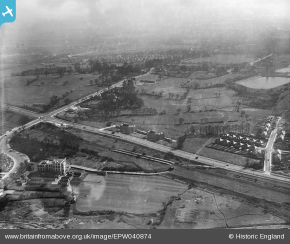
EPW040874 ENGLAND (1933). Western Avenue and Hanger Hill, Ealing, 1933
© Copyright OpenStreetMap contributors and licensed by the OpenStreetMap Foundation. 2026. Cartography is licensed as CC BY-SA.
Nearby Images (16)
EPW040874

EPW040873

EPW040863

EPW040865

EPW040772

EAW015158

EPW025997

EPW025991

EPW025996

EAW015159

EPW040866

EPW025990

EPW025992

EAW015160

EPW040864

EAW015161

Details
| Title | [EPW040874] Western Avenue and Hanger Hill, Ealing, 1933 |
| Reference | EPW040874 |
| Date | March-1933 |
| Link | |
| Place name | EALING |
| Parish | |
| District | |
| Country | ENGLAND |
| Easting / Northing | 518311, 182536 |
| Longitude / Latitude | -0.29424620630362, 51.528843284114 |
| National Grid Reference | TQ183825 |
Pins

Des Elmes |
Monday 4th of April 2016 08:31:53 PM | |
|
Des Elmes |
Monday 4th of April 2016 08:31:27 PM | |
|
Des Elmes |
Monday 4th of April 2016 08:26:08 PM | |
|
Des Elmes |
Monday 4th of April 2016 08:24:47 PM | |
|
Des Elmes |
Monday 4th of April 2016 08:23:46 PM | |

Class31 |
Monday 24th of March 2014 11:35:00 AM |