
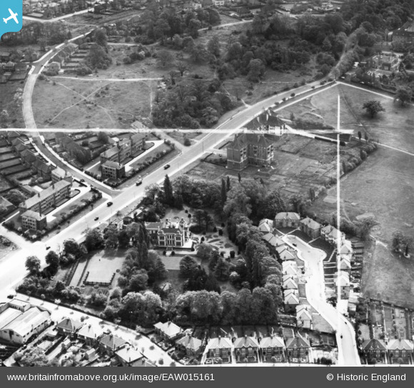
EAW015161 ENGLAND (1948). Greystoke House and Hanger Lane, Ealing, 1948. This image has been produced from a print marked by Aerofilms Ltd for photo editing.
© Copyright OpenStreetMap contributors and licensed by the OpenStreetMap Foundation. 2026. Cartography is licensed as CC BY-SA.
Nearby Images (23)
EAW015161

EPW040864

EAW015159

EPW025992

EPW040866

EAW015160

EAW015158

EPW025995

EPW025999

EPW025993

EPW026000

EPW025994

EPW025989

EPW025990

EPW025991

EPW025996

EPW025998

EPW025997

EPW040863

EPW040865

EPW040775

EPW040873

EPW040874

Details
| Title | [EAW015161] Greystoke House and Hanger Lane, Ealing, 1948. This image has been produced from a print marked by Aerofilms Ltd for photo editing. |
| Reference | EAW015161 |
| Date | 5-May-1948 |
| Link | |
| Place name | EALING |
| Parish | |
| District | |
| Country | ENGLAND |
| Easting / Northing | 518512, 182303 |
| Longitude / Latitude | -0.29142807906724, 51.526706813339 |
| National Grid Reference | TQ185823 |
Pins

Matt Aldred edob.mattaldred.com |
Thursday 23rd of July 2026 03:47:59 PM |
User Comment Contributions
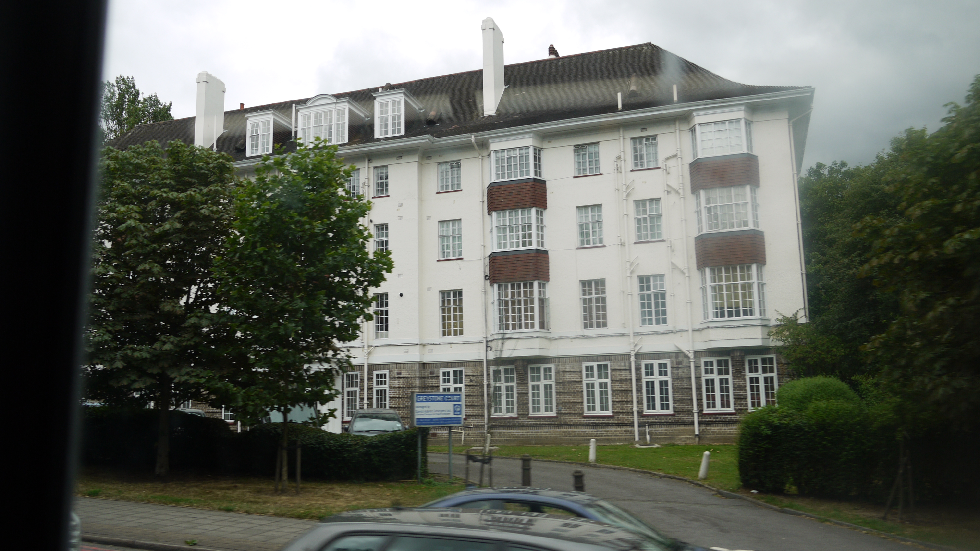
From a bus. Greystoke Court, Hanger Lane, 22/07/2015 |

Class31 |
Friday 24th of July 2015 01:24:35 PM |