
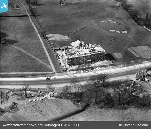
EPW025999 ENGLAND (1929). Greystoke Court under construction, Ealing, 1929
© Copyright OpenStreetMap contributors and licensed by the OpenStreetMap Foundation. 2026. Cartography is licensed as CC BY-SA.
Nearby Images (20)
EPW025999

EPW025993

EPW026000

EPW025995

EAW015161

EPW040864

EPW025992

EPW040773

EPW025989

EAW015159

EPW025994

EPW040866

EAW015160

EAW015158

EPW040775

EPW025990

EPW025998

EPW025991

EPW025996

EPW040777

Details
| Title | [EPW025999] Greystoke Court under construction, Ealing, 1929 |
| Reference | EPW025999 |
| Date | 6-April-1929 |
| Link | |
| Place name | EALING |
| Parish | |
| District | |
| Country | ENGLAND |
| Easting / Northing | 518542, 182176 |
| Longitude / Latitude | -0.29103852715996, 51.525558980476 |
| National Grid Reference | TQ185822 |
Pins

Class31 |
Monday 24th of March 2014 11:38:01 AM |
User Comment Contributions
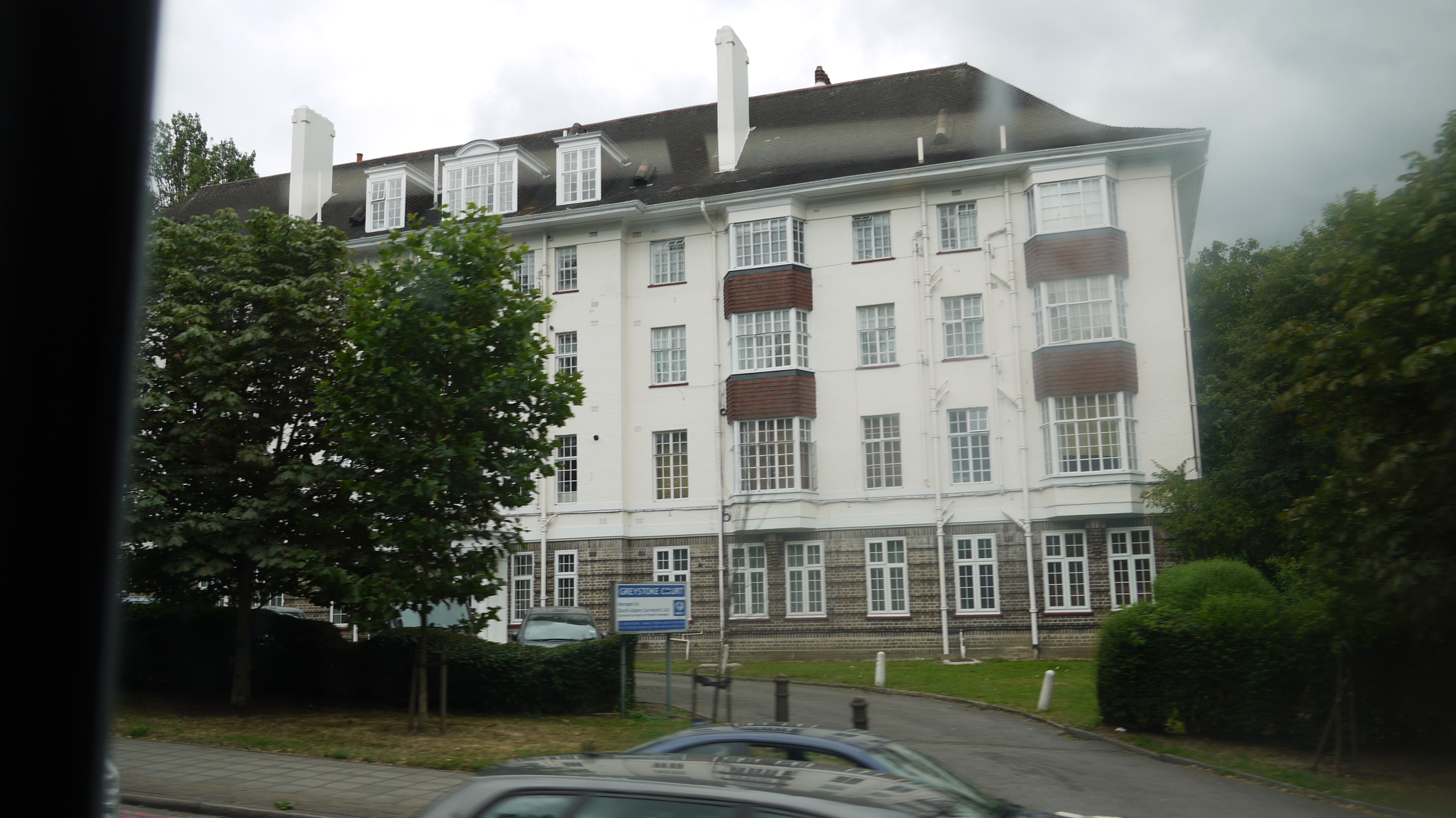
From a bus. Greystoke Court, Hanger Lane, 22/07/2015 |
Class31 |
Friday 24th of July 2015 01:23:14 PM |